
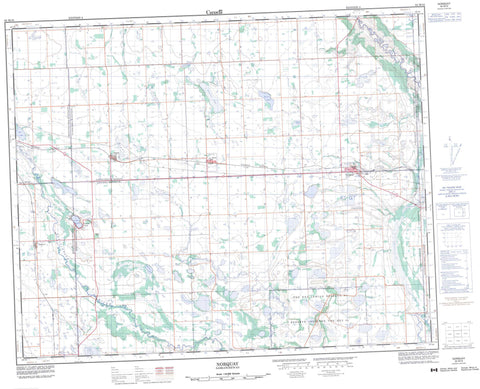
062M16 Norquay Canada topo map, 1:50,000 scale
062M16 Norquay NRCAN topographic map.
Includes UTM and GPS geographic coordinates (latitude and longitude). This 50k scale map is suitable for hiking, camping, and exploring, or you could frame it as a wall map.
Printed on-demand using high resolution, on heavy weight and acid free paper, or as an upgrade on a variety of synthetic materials.
Topos available on paper, Waterproof, Poly, or Tyvek. Usually shipping rolled, unless combined with other folded maps in one order.
- Product Number: NRCAN-062M16
- Parent Topo: TOPO-062M
- Map ID also known as: 062M16, 62M16
- Unfolded Size: Approximately 26" high by 36" wide
- Weight (paper map): ca. 55 grams
- Map Type: POD NRCAN Topographic Map
- Map Scale: 1:50,000
- Geographical region: Saskatchewan, Canada
Neighboring Maps:
All neighboring Canadian topo maps are available for sale online at 1:50,000 scale.
Purchase the smaller scale map covering this area: Topo-062M
Spatial coverage:
Topo map sheet 062M16 Norquay covers the following places:
- Crystal Lake - Tadmore - The Key 65 - April Lake - Beaver Lake - Clark Lake - Coleman Lake - Crystal Lake - Fire Lake - Flat Lake - Frame Lake - Fulton Lake - Gibney Lake - Holm Lake - Horn Lake - May Lake - Mayflower Lake - Mission Lake - Moss Lake - Outarde Lake - Red Lake - Stanley Lake - Witouche Lake - Poplar Hill - Buchanan No. 304 - Clayton No. 333 - Keys No. 303 - Livingston No. 331 - Preeceville No. 334 - St. Philips No. 301 - Fort Pelly #1 Historic Site - Assiniboine River - Belleau Brook - Spruce Creek - Stony Creek - Assiniboine Elbow - Norquay - Fort Pelly - Hassan - Moss Lake - Tadmor - Hyas - Stenen


