
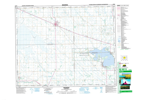
062M13 Wadena Canada topo map, 1:50,000 scale
062M13 Wadena NRCAN topographic map.
Includes UTM and GPS geographic coordinates (latitude and longitude). This 50k scale map is suitable for hiking, camping, and exploring, or you could frame it as a wall map.
Printed on-demand using high resolution, on heavy weight and acid free paper, or as an upgrade on a variety of synthetic materials.
Topos available on paper, Waterproof, Poly, or Tyvek. Usually shipping rolled, unless combined with other folded maps in one order.
- Product Number: NRCAN-062M13
- Parent Topo: TOPO-062M
- Map ID also known as: 062M13, 62M13
- Unfolded Size: Approximately 26" high by 36" wide
- Weight (paper map): ca. 55 grams
- Map Type: POD NRCAN Topographic Map
- Map Scale: 1:50,000
- Geographical region: Saskatchewan, Canada
Neighboring Maps:
All neighboring Canadian topo maps are available for sale online at 1:50,000 scale.
Purchase the smaller scale map covering this area: Topo-062M
Spatial coverage:
Topo map sheet 062M13 Wadena covers the following places:
- Buckhorn Bay - McCormick Bay - Leslie Beach - Saskin Beach - Kylemore - Mozart - North Shore Fishing Lake - Fishing Lake 89 - Fishing Lake 89A - Fishing Lake - Little Quill Lake - Nupdal Lake - Quill Lakes - Quill Lakes - Elfros No. 307 - Foam Lake No. 276 - Lakeview No. 337 - Sasman No. 336 - Fishing Lake Regional Park (Golf Course) - Fishing Lake Regional Park (Leslie Beach) - Fishing Lake Regional Park (Saskin Beach) - Fishing Lake Wildlife Refuge - Birch Creek - Blahoslovenie Creek - Duck Hunting Creek - Milligan Creek - Paswegin Brook - Van Pattens Creek - Wadena - Edfield - Fishing Lake - Kristnes - Paswegin - Tornea - Chorney Beach - Leslie Beach


