
062M10 Buchanan Canada topo map, 1:50,000 scale
062M10 Buchanan NRCAN topographic map.
Includes UTM and GPS geographic coordinates (latitude and longitude). This 50k scale map is suitable for hiking, camping, and exploring, or you could frame it as a wall map.
Printed on-demand using high resolution, on heavy weight and acid free paper, or as an upgrade on a variety of synthetic materials.
Topos available on paper, Waterproof, Poly, or Tyvek. Usually shipping rolled, unless combined with other folded maps in one order.
- Product Number: NRCAN-062M10
- Parent Topo: TOPO-062M
- Map ID also known as: 062M10, 62M10
- Unfolded Size: Approximately 26" high by 36" wide
- Weight (paper map): ca. 55 grams
- Map Type: POD NRCAN Topographic Map
- Map Scale: 1:50,000
- Geographical region: Saskatchewan, Canada
Neighboring Maps:
All neighboring Canadian topo maps are available for sale online at 1:50,000 scale.
Purchase the smaller scale map covering this area: Topo-062M
Spatial coverage:
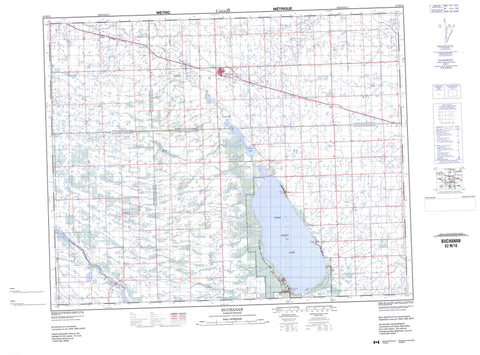
Topo map sheet 062M10 Buchanan covers the following places:
- Kitchimanitou Beach - Oldroyd Beach - Sunnyside Beach - Swallow Beach - Burgis Beach - Buchanan Mill Pond - Good Spirit Lake - Patterson Lake - Buchanan No. 304 - Good Lake No. 274 - Insinger No. 275 - Invermay No. 305 - Good Spirit Lake Provincial Park - Patterson Lake Game Preserve - Whitesand Regional Park - Assiniboine River - Crooked Hill Creek - Spirit Creek - Whitesand River - Dernic - Devil Lake - Donald Gunn - Drobot - Golden Vale - Goldenvale - Kitchimanitou - Spirit Lake - Tiny - Buchanan


