
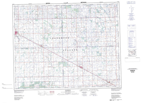
062M03 Goodeve Canada topo map, 1:50,000 scale
062M03 Goodeve NRCAN topographic map.
Includes UTM and GPS geographic coordinates (latitude and longitude). This 50k scale map is suitable for hiking, camping, and exploring, or you could frame it as a wall map.
Printed on-demand using high resolution, on heavy weight and acid free paper, or as an upgrade on a variety of synthetic materials.
Topos available on paper, Waterproof, Poly, or Tyvek. Usually shipping rolled, unless combined with other folded maps in one order.
- Product Number: NRCAN-062M03
- Parent Topo: TOPO-062M
- Map ID also known as: 062M03, 62M3, 62M03
- Unfolded Size: Approximately 26" high by 36" wide
- Weight (paper map): ca. 55 grams
- Map Type: POD NRCAN Topographic Map
- Map Scale: 1:50,000
- Geographical region: Saskatchewan, Canada
Neighboring Maps:
All neighboring Canadian topo maps are available for sale online at 1:50,000 scale.
Purchase the smaller scale map covering this area: Topo-062M
Spatial coverage:
Topo map sheet 062M03 Goodeve covers the following places:
- Little Black Bear 84 - Little Black Bear 84SC - Star Blanket 83J - Fortin Lake - Gamache Lake - Ladebauche Lake - Lady Lake - Beaver Hills - File Hills - Garry No. 245 - Ituna Bon Accord No. 246 - Stanley No. 215 - Tullymet No. 216 - Ituna and District Regional Park - Ituna Regional Park - Thomas Battersby Protected Area - Touchwood Uplands - Kaposvar Creek - Pheasant Creek - Willow Brook - Ituna - Homefield - Fenwood - Goodeve - Hubbard


