
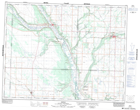
062K06 Birtle Canada topo map, 1:50,000 scale
062K06 Birtle NRCAN topographic map.
Includes UTM and GPS geographic coordinates (latitude and longitude). This 50k scale map is suitable for hiking, camping, and exploring, or you could frame it as a wall map.
Printed on-demand using high resolution, on heavy weight and acid free paper, or as an upgrade on a variety of synthetic materials.
Topos available on paper, Waterproof, Poly, or Tyvek. Usually shipping rolled, unless combined with other folded maps in one order.
- Product Number: NRCAN-062K06
- Parent Topo: TOPO-062K
- Map ID also known as: 062K06, 62K6, 62K06
- Unfolded Size: Approximately 26" high by 36" wide
- Weight (paper map): ca. 55 grams
- Map Type: POD NRCAN Topographic Map
- Map Scale: 1:50,000
- Geographical region: Manitoba, Canada
Neighboring Maps:
All neighboring Canadian topo maps are available for sale online at 1:50,000 scale.
Purchase the smaller scale map covering this area: Topo-062K
Spatial coverage:
Topo map sheet 062K06 Birtle covers the following places:
- Birtle Dam - Birdtail Creek 57 - Falloons Lake - Grand Lac - Hooper Lake - Hoopers Lake - Cleghorn Hill - Archie - Birtle - Ellice - Moosomin No. 121 - Rocanville No. 151 - Spy Hill No. 152 - Upper Assiniboine Wildlife Management Area - Stony Plains - Wattsview Plains - Assiniboine River - Beaver Creek - Birdtail Creek - Brennand Creek - Brennand Creek - Hotonka Creek - Minnewasta Creek - Qu'Appelle River - Qu'Appelle River - Scissor Creek - Scissor Creek - Snake Creek - Birtle - Beulah - Birdtail Sioux - McAuley - Treat - Victor - Wattsview - Solomons Gully - Chambers Slough - Seales Slough - St. Lazare - St-Lazare


