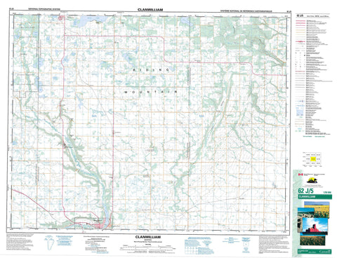
062J05 Clanwilliam Canada topo map, 1:50,000 scale
062J05 Clanwilliam NRCAN topographic map.
Includes UTM and GPS geographic coordinates (latitude and longitude). This 50k scale map is suitable for hiking, camping, and exploring, or you could frame it as a wall map.
Printed on-demand using high resolution, on heavy weight and acid free paper, or as an upgrade on a variety of synthetic materials.
Topos available on paper, Waterproof, Poly, or Tyvek. Usually shipping rolled, unless combined with other folded maps in one order.
- Product Number: NRCAN-062J05
- Parent Topo: TOPO-062J
- Map ID also known as: 062J05, 62J5, 62J05
- Unfolded Size: Approximately 26" high by 36" wide
- Weight (paper map): ca. 55 grams
- Map Type: POD NRCAN Topographic Map
- Map Scale: 1:50,000
- Geographical region: Manitoba, Canada
Neighboring Maps:
All neighboring Canadian topo maps are available for sale online at 1:50,000 scale.
Purchase the smaller scale map covering this area: Topo-062J
Spatial coverage:
Topo map sheet 062J05 Clanwilliam covers the following places:
- Minnedosa Dam - Rolling River 67 - Rolling River 67b - Ann Lake - Antons Lake - Arnold Lake - Averills Lake - Benson Lake - Bones Lake - Booths Lake - Cairn Lake - Cameron Lake - Cannons Lake - Cape Lake - Coulsons Lake - Eagle Lake - East Eighteen Lake - Elsie Lake - Ewens Lakes - Falcon Lake - Firby Lake - Gamey Lake - Gourlay Lake - Graan Lake - Greenlaws Lake - Harts Lake - Helens Lake - Hilliards Lake - Horseshoe Lake - Hugh Lake - Jacksons Lake - Johnston Lake - Katie Lake - Kaufmans Lake - Kerr Lake - Kerrs Lake - King Lake - Kite Lake - Leda Lake - Little Erickson Lake - Little Otter Lake - Londrys Lake - Mattsons Lake - McKays Lake - McKerrells Lake - McRaes Lake - Minnedosa Lake - Munros Lake - Nora Lake - Nystrom Lake - Otter Lake - Peterson Lake - Potts Lake - Sangers Lake - Shannocappo Lake - Tomlinson Lake - Van Lake - Watson Lake - West Eighteen Lake - Beatties Hill - Crocus Hill - Firbys Hill - Gordons Hill - Grant Hill - Munros Hill - Peterson Hill - Pollons Hill - Riding Mountain - Clanwilliam - Harrison - Minto - Rosedale - Saskatchewan - Minnedosa Lake Wildlife Refuge - Parc national du Canada du Mont-Riding - Riding Mountain National Park of Canada - Birnie Creek - Eden Creek - Law Creek - Little Saskatchewan River - Logans Creek - Millar Creek - Miller Creek - Minnedosa River - Neepawa Creek - North Snake Creek - Otter Creek - Pelican Creek - Rolling River - Sandersons Creek - Spring Creek - Stony Creek - Wapus Creek - West Spring Creek - Erickson - Minnedosa - Bethany - Clan William - Clanwilliam - Crocus - Elk Ranch - Hilltop - Largs - Minnedosa Beach - Mountain Road - Murchison - Orrville - Otter Lake - Polonia - Rolling River - Springhill - Huns Valley - McFadden Valley


