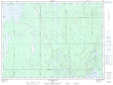
042A07 Watabeag River Canada topo map, 1:50,000 scale
042A07 Watabeag River NRCAN topographic map.
Includes UTM and GPS geographic coordinates (latitude and longitude). This 50k scale map is suitable for hiking, camping, and exploring, or you could frame it as a wall map.
Printed on-demand using high resolution, on heavy weight and acid free paper, or as an upgrade on a variety of synthetic materials.
Topos available on paper, Waterproof, Poly, or Tyvek. Usually shipping rolled, unless combined with other folded maps in one order.
- Product Number: NRCAN-042A07
- Parent Topo: TOPO-042A
- Map ID also known as: 042A07, 42A7, 42A07
- Unfolded Size: Approximately 26" high by 36" wide
- Weight (paper map): ca. 55 grams
- Map Type: POD NRCAN Topographic Map
- Map Scale: 1:50,000
- Geographical region: Ontario, Canada
Neighboring Maps:
All neighboring Canadian topo maps are available for sale online at 1:50,000 scale.
Purchase the smaller scale map covering this area: Topo-042A
Spatial coverage:
Topo map sheet 042A07 Watabeag River covers the following places:
- Carman Bay - St. Peter Bay - North Peninsula - The Narrows - Timmins - Timmins-Porcupine - Egan Chutes - Sylvia Chutes - Sylvia Falls - Blackstock - Bond - Bowman - Carman - Cochrane - Cody - Currie - Egan - Fallon - Fasken - Langmuir - Macklem - McCann - McEvay - Michie - Nordica - Sheraton - Terry - Thomas - Timiskaming - Timmins - Tolstoi - Auer Island - Ball Island - Burn Island - Callinan Island - Cindy Island - Deadman Island - Hand Island - Longpoint Island - McLeod Island - Moose Island - Pine Island - Powder Island - Alexander Lake - Anderson Lake - Arrow Lake - Beattie Lake - Big Club Lake - Birch Lake - Blackwater Lake - Bottley Lake - Bow Lake - Bradley Lake - Brown Lake - Byng Lake - Cariboo Lake - Centre Triple Lake - Charity Lake - Cootie Lake - Coutts Lake - Dalglish Lake - Dalton Lake - Davis Lake - Doran's Lake - Dougherty Lake - Elspeth Lake - Extension Lake - Fargo Lake - Flood Lake - Fogg Lake - Freeman Lake - Gibson Lake - Gordon Lake - Greenock Lake - Grey Lake - Hatchet Lake - Heart Lake - Hill Lake - Holster Lake - Hope Lake - Horn Lake - Hutch Lake - James Lakes - Junction Lake - June Lake - Karen Lake - Kasba Lake - Lavoie Lake - Lemoine Lake - Lipsett Lake - Little Club Lake - Little Dougherty Lake - Little Gibson Lake - Lockpot Lake - Long Lake - Lord Lake - McCoshen Lake - McEnaney Lake - McPhail Lake - Moose Lake - Night Hawk Lake - Nighthawk Lake - North Triple Lake - Pallet Lake - Potvin Lake - Raf Lake - Reveille Lake - Round Lake - Saral Lake - Sheraton Lake - South Triple Lake - Stock Lakes - Sylvia Lake - Teapot Lake - Timmichie Lake - Tippet Lake - Triple Lakes - Warner Lake - Watabeag Lake - Welcome Lake - West Tippet Lake - Winnett Lake - Wolverton Lake - Black River-Matheson - Kingham - Mountjoy - Playfair - Tisdale - Whitney - Driftwood River White Cedar Lacustrine Conservation Reserve - Night Hawk Lake Shoreline Bluffs Conservation Reserve - Anderson Creek - Bottley Creek - Brush Creek - Davis Creek - Driftwood River - Grindstone Creek - Hooker Creek - Kasba Creek - Little Driftwood River - Mackay Creek - McLeod Creek - Minnow Creek - Night Hawk River - Nighthawk River - Radisson Creek - Rivière Watabeag - Sylvia Creek - Timmichie Creek - Tolstoi Creek - Watabeag River - West Night Hawk River - West Nighthawk River - Whitefish River - Gull Rock


