
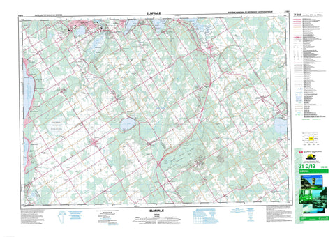
031D12 Elmvale Canada topo map, 1:50,000 scale
031D12 Elmvale NRCAN topographic map.
Includes UTM and GPS geographic coordinates (latitude and longitude). This 50k scale map is suitable for hiking, camping, and exploring, or you could frame it as a wall map.
Printed on-demand using high resolution, on heavy weight and acid free paper, or as an upgrade on a variety of synthetic materials.
Topos available on paper, Waterproof, Poly, or Tyvek. Usually shipping rolled, unless combined with other folded maps in one order.
- Product Number: NRCAN-031D12
- Parent Topo: TOPO-031D
- Map ID also known as: 031D12, 31D12
- Unfolded Size: Approximately 26" high by 36" wide
- Weight (paper map): ca. 55 grams
- Map Type: POD NRCAN Topographic Map
- Map Scale: 1:50,000
- Geographical region: Ontario, Canada
Neighboring Maps:
All neighboring Canadian topo maps are available for sale online at 1:50,000 scale.
Purchase the smaller scale map covering this area: Topo-031D
Spatial coverage:
Topo map sheet 031D12 Elmvale covers the following places:
- Baie de Midland - Baie des Esturgeons - Baie Georgienne - Catfish Bay - D'Aoust Bay - Georgian Bay - Hog Bay - Matchedash Bay - Midland Bay - Nottawasaga Bay - Sturgeon Bay - Tiffin Basin - Bush's Point - Stoney Point - Tanner Point - Yarwood Point - Flos - Matchedash - Medonte - Orillia - Oro - Simcoe - Sunnidale - Tay - Tiny - Vespra - Bass Lake - Lalligan Lake - Little Lake - Marl Lake - Midland Park Lake - Mud Lake - Orr Lake - Rumbles Mill Pond - Wye Lake - Adamson's Hill - Cook's Hill - Darby's Hill - Faint's Hill - French's Hill - Guthrie's Hill - La Montagne - Moonstone Hill - Robinson's Hill - Rowley's Hill - The Mountain - Wireless Hill - Simcoe - Clearview - Flos - Medonte - Orillia - Oro - Oro-Medonte - Severn - Springwater - Tay - Tay - Tiny - Vespra - Lieu historique national du Canada de la Mission-Saint-Louis - Réserve nationale de faune du Marais-Wye - Saint-Louis Mission National Historic Site of Canada - Wasaga Beach Provincial Park - Waubaushene Beaches Provincial Nature Reserve - Waubaushene Beaches Provincial Park - Wye Marsh National Wildlife Area - Bear Creek - Coldwater River - Copeland Creek - Hawkestone Creek - Hog Creek - Little Marl Creek - Marl Creek - Marl Creek - McMahon Creek - North River - Purbrook Creek - Sturgeon Creek - Sturgeon Creek - Sturgeon River - Willow Creek - Wye River - Midland - Allenwood - Allenwood Beach - Apto - Balm Beach - Bluewater Beach - Carley - Caswell's Beach - Coldwater - Coulson - Craighurst - Creighton - Crossland - Deanlea Beach - Eady - Ebenezer - Edgar - Elliotts Corners - Elmvale - Evans Corner - Fair Valley - Fergusonvale - Fesserton - Firth's Corners - Foxmead - Georgina Beach - Gibson - Hillsdale - Horseshoe Valley - Howes Corners - Jarratt - Langman - Lefaives Corners - Marchmont - Martin Farm - Martinville - Martyrs Shrine - McMillan - Medonte - Melduf - Mertz's Corner - Mitchell Square - Moonstone - Mount St. Louis - Mount Stephen - Mountain View Beach - New Wasaga Beach - Old Fort - Orr Lake - Ossossane Beach - Perkinsfield - Phelpston - Port McNicoll - Portswitch - Prices Corner - Riverside - Rugby - Sandy Bend - Saurin - Sturgeon Bay - Sturgeon Beach - Tay - Tiffin - Uhthoff - Vasey - Victoria Harbour - Victoria Park - Warminster - Waubaushene - Waverley - Wendake Beach - Woodland Beach - Wyebridge - Wyevale - Wymbolwood Beach - Craig's Swamp - Gray's Marsh - Wye Marsh


