
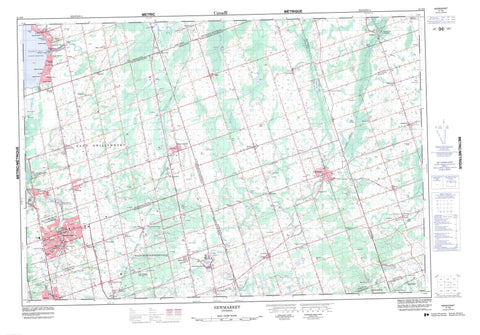
031D03 Newmarket Canada topo map, 1:50,000 scale
031D03 Newmarket NRCAN topographic map.
Includes UTM and GPS geographic coordinates (latitude and longitude). This 50k scale map is suitable for hiking, camping, and exploring, or you could frame it as a wall map.
Printed on-demand using high resolution, on heavy weight and acid free paper, or as an upgrade on a variety of synthetic materials.
Topos available on paper, Waterproof, Poly, or Tyvek. Usually shipping rolled, unless combined with other folded maps in one order.
- Product Number: NRCAN-031D03
- Parent Topo: TOPO-031D
- Map ID also known as: 031D03, 31D3, 31D03
- Unfolded Size: Approximately 26" high by 36" wide
- Weight (paper map): ca. 55 grams
- Map Type: POD NRCAN Topographic Map
- Map Scale: 1:50,000
- Geographical region: Ontario, Canada
Neighboring Maps:
All neighboring Canadian topo maps are available for sale online at 1:50,000 scale.
Purchase the smaller scale map covering this area: Topo-031D
Spatial coverage:
Topo map sheet 031D03 Newmarket covers the following places:
- Cook Bay - Cook's Bay - Ferguson Point - Pickering - Brock - East Gwillimbury - East Whitby - Georgina - King - North Gwillimbury - Ontario - Pickering - Reach - Scott - Scugog - Uxbridge - Whitby - Whitchurch - Brookdale Lake - Brookdale Pond - Chalk Lake - Dike Pond - Franklin Pond - Island Lake - Joseph's Lake - Lake Simcoe - Lazy Lake - Long Lake - McKewon Lake - Mud Lake - Musselman Lake - Secord's Pond - Shadow Lake - Siloam Pond - Staley Lake - Wagner Lake - Widdifield Pond - Windsor Lake - Blue Mountain - Durham - Ontario - United Counties of Northumberland and Durham - York - Brock - King - Markham - Scott - Scugog - Uxbridge - Whitchurch - Whitchurch - Whitchurch - Holland Landing Prairie Provincial Nature Reserve - Beaver River - Beaverton River - Black River - Bogart Creek - Duffins Creek - Harrison Creek - Holland River East Branch - Lynde Creek - Maskinonge (Jersey) River - Mount Albert Creek - Nonquon River - Pefferlaw Brook - Reesor Creek - Stouffville Creek - Tannery Creek - Uxbridge Brook - Vivian Creek - West Duffins Creek - Wixon Creek - Zephyr Creek - Aurora - East Gwillimbury - Georgina - Newmarket - Whitby - Whitchurch-Stouffville - Alder - Armitage - Ashburn - Ballantrae - Beverley Hills - Beverley Isles - Blackwater - Blackwater Junction - Bloomington - Bogarttown - Brown Hill - Cedar Valley - Cedarbrae - Clardon Beach - Coppin's Corners - Craigmawr Beach - Dagmar - Elmhurst Beach - Epsom - Glen Major - Glenwood Beach - Glenwood Park Beach - Goodwood - Greenbank - Holland Landing - Holt - Indianola Beach - Jersey - Keswick - Keswick Beach - Layton - Leaskdale - Lincolnville - Maple Hill - Marsh Hill - Maskinonge Park - Miami Beach - Morton - Mount Albert - Mount Pleasant - Musselman Lake - Musselman's Lake - Orchard Beach Gardens - Pine Beach - Pine Orchard - Pine Orchard Station - Pinedale - Pleasant View Acres - Pleasantville - Queensville - Ravenshoe - Roseville - Saintfield - Sandford - Sharon - Siloam - South Wynhurst - Utica - Uxbridge - Vandorf - Victoria Corners - Vivian - Wesley Corners - West Franklin - Wick - Wynhurst Beach - Youngs Harbour - Zephyr - Holland Marsh


