
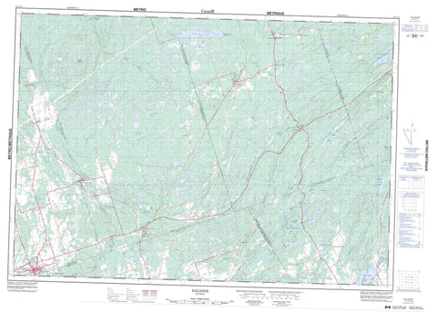
031C11 Kaladar Canada topo map, 1:50,000 scale
031C11 Kaladar NRCAN topographic map.
Includes UTM and GPS geographic coordinates (latitude and longitude). This 50k scale map is suitable for hiking, camping, and exploring, or you could frame it as a wall map.
Printed on-demand using high resolution, on heavy weight and acid free paper, or as an upgrade on a variety of synthetic materials.
Topos available on paper, Waterproof, Poly, or Tyvek. Usually shipping rolled, unless combined with other folded maps in one order.
- Product Number: NRCAN-031C11
- Parent Topo: TOPO-031C
- Map ID also known as: 031C11, 31C11
- Unfolded Size: Approximately 26" high by 36" wide
- Weight (paper map): ca. 55 grams
- Map Type: POD NRCAN Topographic Map
- Map Scale: 1:50,000
- Geographical region: Ontario, Canada
Neighboring Maps:
All neighboring Canadian topo maps are available for sale online at 1:50,000 scale.
Purchase the smaller scale map covering this area: Topo-031C
Spatial coverage:
Topo map sheet 031C11 Kaladar covers the following places:
- Hawkins Bay - Nevilles Point - High Falls - Anglesea - Elzevir - Frontenac - Grimsthorpe - Hastings - Hungerford - Huntingdon - Kaladar - Kennebec - Lennox and Addington - Madoc - Sheffield - Tudor - Beatty Lake - Beaver Lake - Bruno Lake - Calpin Lake - Cranberry Lake - Crooks Creek Lake - Deerock Lake - Denis Lake - Donahue Lake - Eddies Lake - Elzevir Lake - Haley Lake - Hazzard Lake - Jacksons Lake - Kennebec Lake - Lingham Lake - Lingham Lakes - Little Mellon Lake - Little Mitten Lake - McDonald Lake - McFarlands Lake - McKnight Lake - McNeil Lakes - Mellon Lake - Mitten Lake - Moira Lake - Otter Creek Lakes - Palmeteer Lake - Quinlan Lake - Raccoon Lake - Robinson Lake - Round Lake - Sheffield Lake - Sheffield Long Lake - Shirtcliff Lake - Shovel Lake - Todd Lake - Twin Lake - West Sheffield Lake - Kaladar Hill - Mount Moriah - Mount Moriah Hill - Frontenac - Hastings - Lennox and Addington - Addington Highlands - Camden East - Central Frontenac - Centre Hastings - Denbigh, Abinger and Ashby - Elzevir and Grimsthorpe - Hinchinbrooke - Hungerford - Huntingdon - Kaladar, Anglesea and Effingham - Kennebec - Madoc - Olden - Oso - Sheffield - Stone Mills - Tudor and Cashel - Tweed - Elzevir Peatlands Conservation Reserve - Kaladar Jack Pine Barrens Conservation Reserve - Mellon Lake Conservation Reserve - Mount Moriah Conservation Reserve - Price Conservation Area - Puzzle Lake Provincial Park - Coopers Rapids - Beaver Creek - Black River - Canniff Creek - Clare River - Donahue Creek - Elzevir Creek - Flinton Creek - Hooleys Creek - Little Skootamatta Creek - Little Skootamatta River - Madoc Creek - Mellon Creek - Moira River - Moriah Creek - Otter Creek - Partridge Creek - Queensborough Creek - Railway Creek - Salmon River - Skootamata River - Skootamatta River - Story Creek - Sulphide Creek - West Black River - West Fork Otter Creek - Wolf Creek - Actinolite - Addington - Allan - Bordenwood - Clareview - Cooper - East Hungerford - Elm Tree - Elzevir - Flinton - Flinton Corner - Glastonbury - Hazzards Corners - Hungerford - Kaladar - Madoc - McGuire Settlement - North Brook - Northbrook - Otter Creek - Queensborough - Rimington - Ronaldson - Sulphide - Davidsons Marsh - Vandusens Marsh


