
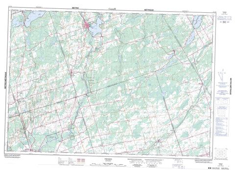
031C06 Tweed Canada topo map, 1:50,000 scale
031C06 Tweed NRCAN topographic map.
Includes UTM and GPS geographic coordinates (latitude and longitude). This 50k scale map is suitable for hiking, camping, and exploring, or you could frame it as a wall map.
Printed on-demand using high resolution, on heavy weight and acid free paper, or as an upgrade on a variety of synthetic materials.
Topos available on paper, Waterproof, Poly, or Tyvek. Usually shipping rolled, unless combined with other folded maps in one order.
- Product Number: NRCAN-031C06
- Parent Topo: TOPO-031C
- Map ID also known as: 031C06, 31C6, 31C06
- Unfolded Size: Approximately 26" high by 36" wide
- Weight (paper map): ca. 55 grams
- Map Type: POD NRCAN Topographic Map
- Map Scale: 1:50,000
- Geographical region: Ontario, Canada
Neighboring Maps:
All neighboring Canadian topo maps are available for sale online at 1:50,000 scale.
Purchase the smaller scale map covering this area: Topo-031C
Spatial coverage:
Topo map sheet 031C06 Tweed covers the following places:
- Cosy Cove - Nevilles Point - West Channel - Belleville - Quinte West - Quinte West - Buttermilk Falls - Camden East - Hastings - Hungerford - Huntingdon - Lennox and Addington - Madoc - Rawdon - Richmond - Sheffield - Sidney - Thurlow - Tyendinaga - Butternut Island - Grant Island - Grape Island - Green Island - Papoose Island - Stony Island - Sugar Island - Beaver Lake - Drag Lake - Dry Lake - Goose Lake - Inglesby Lake - Lime Lake - Marland Lake - Moira Lake - Moreland Lake - Mud Lake - Ross Lake - Sampson Lake - Snake Lake - Stoco Lake - White Lake - White Lake - Coulters Hill - Grieves Hill - Pancake Hill - Pennells Hill - Hastings - Lennox and Addington - Adolphustown - Camden East - Centre Hastings - Elzevir and Grimsthorpe - Fredericksburgh - Hungerford - Huntingdon - Madoc - Murray - North Fredericksburgh - Rawdon - Richmond - Sheffield - Sidney - South Fredericksburgh - Stirling-Rawdon - Stone Mills - Thurlow - Tweed - Tyendinaga - Menzel Centennial Provincial Nature Reserve - Stoco Fen Provincial Nature Reserve - Blessington Creek - Chrysal Creek - Clare River - East Channel - Fisher Creek - Goose Creek - Hooleys Creek - Madoc Creek - Marysville Creek - Moira River - Mud Creek - Number Ten Creek - Otter Creek - Otter Creek - Parks Creek - Pennells Creek - Rawdon Creek - Salmon River - Selby Creek - Sucker Creek - Sulphide Creek - Greater Napanee - Albert - Blessington - Bogart - Buller - Buller Siding - Chapman - Chisholm - Chisholm's Mills - Cosy Cove - Coulters Hill - Crookston - Duff Corners - Ebenezer - Empey Hill - Erinsville - Farrell Corners - Forest Mills - Foxboro - Fuller - Grieves Corners - Halloway - Halston - Ingle - Ivanhoe - Ivanhoe Station - Kingsford - Larkins - Latta - Leinster - Lime Lake - Lodgeroom Corners - Lonsdale - Lonsdale Station - Lost Channel - Madoc - Madoc Junction - Marlbank - Melrose - Moira - Moira Lake - Moneymore - Myrehall - Naphan - Perry Mine - Phillipston - Pinegrove - Plainfield - Read - Roblin - Roblindale - Roslin - Sharps Corners - Stoco - Tamworth - Thomasburg - Thrasher's Corners - Thresher Corners - Tuftsville - Tweed - West Huntingdon - West Huntingdon Station - West Plain - Westplain - White Lake - Zion Hill - Hempfly Marsh


