
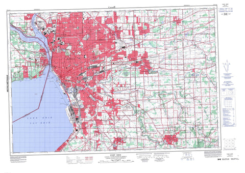
030L15 Fort Erie Canada topo map, 1:50,000 scale
030L15 Fort Erie NRCAN topographic map.
Includes UTM and GPS geographic coordinates (latitude and longitude). This 50k scale map is suitable for hiking, camping, and exploring, or you could frame it as a wall map.
Printed on-demand using high resolution, on heavy weight and acid free paper, or as an upgrade on a variety of synthetic materials.
Topos available on paper, Waterproof, Poly, or Tyvek. Usually shipping rolled, unless combined with other folded maps in one order.
- Product Number: NRCAN-030L15
- Parent Topo: TOPO-030L
- Map ID also known as: 030L15, 30L15
- Unfolded Size: Approximately 26" high by 36" wide
- Weight (paper map): ca. 55 grams
- Map Type: POD NRCAN Topographic Map
- Map Scale: 1:50,000
- Geographical region: Ontario, Canada
Neighboring Maps:
All neighboring Canadian topo maps are available for sale online at 1:50,000 scale.
Purchase the smaller scale map covering this area: Topo-030L
Spatial coverage:
Topo map sheet 030L15 Fort Erie covers the following places:
- Bertie Bay - Crescent Beach - Erie Beach - Niagara Peninsula - Bertie - Kraft Drain - Lac Érié - Lake Erie - Niagara - Bertie - Willoughby - Ontario - Baker Creek - Chippawa Channel - Frenchman Creek - Frenchman's Creek - Miller Creek - Niagara River - Rivière Niagara - Horseshoe Reef - Limekiln Reef - Roses Reef - Waverly Shoal - Bridgeburg - Fort Erie - Amigari Downs - Bertie Bay - Buffalo Heights - Crescent Beach - Crescent Park - Crescent Park - Duffy - Edgewood Park - Erie Beach - Fort Erie Beach - Fort Erie North - Fort Erie West - Lakeshore - Niagara Junction - Old Fort Erie - Rose Hill Estates - Waverly Beach - Crystal Beach - International Bridge - Waterloo


