
030L13 Dunnville Canada topo map, 1:50,000 scale
030L13 Dunnville NRCAN topographic map.
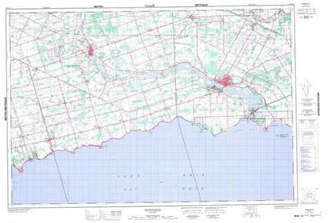
Includes UTM and GPS geographic coordinates (latitude and longitude). This 50k scale map is suitable for hiking, camping, and exploring, or you could frame it as a wall map.
Printed on-demand using high resolution, on heavy weight and acid free paper, or as an upgrade on a variety of synthetic materials.
Topos available on paper, Waterproof, Poly, or Tyvek. Usually shipping rolled, unless combined with other folded maps in one order.
- Product Number: NRCAN-030L13
- Parent Topo: TOPO-030L
- Map ID also known as: 030L13, 30L13
- Unfolded Size: Approximately 26" high by 36" wide
- Weight (paper map): ca. 55 grams
- Map Type: POD NRCAN Topographic Map
- Map Scale: 1:50,000
- Geographical region: Ontario, Canada
Neighboring Maps:
All neighboring Canadian topo maps are available for sale online at 1:50,000 scale.
Purchase the smaller scale map covering this area: Topo-030L
Spatial coverage:
Topo map sheet 030L13 Dunnville covers the following places:
- Connor Bay - Long Point Bay - Miller Bay - Mohawk Bay - Splatt Bay - Blott Point - Evans Point - Featherstone Point - Grant Point - Hoover Point - Low Point - Miller Point - Niagara Peninsula - Peacock Point - Rock Point - Rockhouse Point - Haldimand - Haldimand County - Nanticoke - Brant - Caistor - Canborough - Cayuga - Dunn - Gainsborough - Haldimand - Lincoln - Moulton - North Cayuga - Oneida - Rainham - Seneca - Sherbrooke - South Cayuga - Wainfleet - Walpole - Boughner Drain - Chick-Hartnett Drain - Dent Drain - Ellsworth Drain - James Drain - Mazi Drain - Mitchener Drain - North Forks Drain - Paisley Drain - South Forks Drain - Sugar Creek Drain - Tweed Drain - Waines Drain - West Kelly Drain - Wolfe Creek Drain - Mohawk Island - Dils Lake - Dry Lake - Lac Érié - Lake Erie - Haldimand - Haldimand-Norfolk - Niagara - Norfolk - Canborough - Dunn - Moulton - Niagara - North Cayuga - Oneida - Rainham - Seneca - Sherbrooke - South Cayuga - Wainfleet - Walpole - West Lincoln - Chippawa Creek Conservation Area - James N. Allan Provincial Park - Mohawk Island National Wildlife Area - Réserve nationale de faune de l'Île-Mohawk - Rock Point Provincial Park - Selkirk Provincial Park - Taquanyah Conservation Area - Broad Creek - Broad Creek - Dry Creek - Evans Creek - Gates Creek - Grand River - Hemlock Creek - Holmes Creek - Kelly Creek - Little Forks Creek - Maple Creek - North Forks Creek - Oswego Creek - Pike Creek - Rivière Welland - Rogers Creek - Sandusk Creek - South Forks Creek - Spring Creek - Stoney Creek - Sulphur Creek - Wardells Creek - Welland River - Cunningham Reef - Tecumseh Reef - Dunnville - Haldimand - Attercliffe - Attercliffe Station - Balmoral - Byng - Canboro - Canborough - Canfield - Canfield Junction - Cayuga - Cayuga Station - Cheapside - Clanbrassil - Cranston - Darling Road - Deans - Decewsville - Diltz - Dufferin - Dunnville - Featherstone - Fisherville - Franconia - Gill - Kohler - Lythmore - Moulton - Moulton Station - Mount Carmel - Mount Olivet - Nelles Corners - Oswego Park - Peacock Point - Port Davidson - Port Maitland - Rainham - Rainham Centre - Selkirk - South Cayuga - Stromness - Sweets Corners - Upper - Woodlawn Park


