
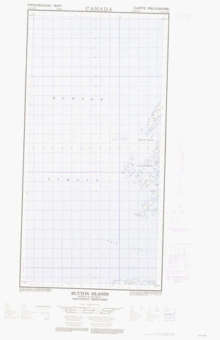
025A10W Button Islands Canada topo map, 1:50,000 scale
025A10W Button Islands NRCAN topographic map.
Includes UTM and GPS geographic coordinates (latitude and longitude). This 50k scale map is suitable for hiking, camping, and exploring, or you could frame it as a wall map.
Printed on-demand using high resolution, on heavy weight and acid free paper, or as an upgrade on a variety of synthetic materials.
Topos available on paper, Waterproof, Poly, or Tyvek. Usually shipping rolled, unless combined with other folded maps in one order.
- Halfsheet: This map was designed as a half sheet of NRCAN-025A10, and it is the Western half. Find the eastern half sheet here.
- Product Number: NRCAN-025A10W
- Parent Topo: TOPO-025A
- Map ID also known as: 025A10, 25A10
- Unfolded Size: Approximately 26" high by 36" wide
- Weight (paper map): ca. 55 grams
- Map Type: POD NRCAN Topographic Map
- Map Scale: 1:50,000
- Geographical region: Newfoundland and Labrador, Canada
Neighboring Maps:
All neighboring Canadian topo maps are available for sale online at 1:50,000 scale.
Purchase the smaller scale map covering this area: Topo-025A
Spatial coverage:
Topo map sheet 025A10W Button Islands covers the following places:
- Calanus Harbour - Minto Anchorage - Qarmaaluk Bay - Ellen Head - Détroit d'Hudson - Gray Strait - Hudson Strait - Itiriaq Channel - Lenz Strait - Avingasittuit Siqinirsipangat Island - Bush Island - Button Islands - Clark Island - Dolphin Island - Erhardt Island - Flat Island - Goodwin Island - Hettash Island - Holdridge Island - King Island - Knight Islands - Lacy Island - Lawson Island - Leading Island - MacColl Island - Niels Island - Observation Island - Perrett Island - Usuk Islands - Button Hill - Knight Summit


