
025A08W Cape Chidley Canada topo map, 1:50,000 scale
025A08W Cape Chidley NRCAN topographic map.
Includes UTM and GPS geographic coordinates (latitude and longitude). This 50k scale map is suitable for hiking, camping, and exploring, or you could frame it as a wall map.
Printed on-demand using high resolution, on heavy weight and acid free paper, or as an upgrade on a variety of synthetic materials.
Topos available on paper, Waterproof, Poly, or Tyvek. Usually shipping rolled, unless combined with other folded maps in one order.
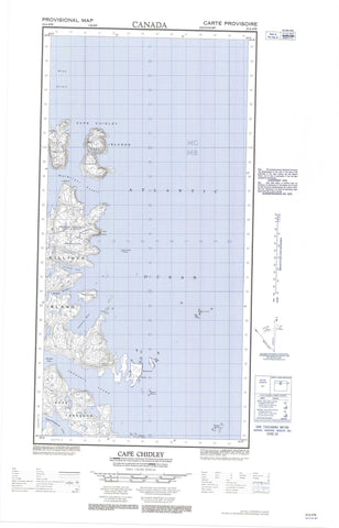
- Halfsheet: This map was designed as a half sheet of NRCAN-025A08, and it is the Western half. Find the eastern half sheet here.
- Product Number: NRCAN-025A08W
- Parent Topo: TOPO-025A
- Map ID also known as: 025A08, 25A8, 25A08
- Unfolded Size: Approximately 26" high by 36" wide
- Weight (paper map): ca. 55 grams
- Map Type: POD NRCAN Topographic Map
- Map Scale: 1:50,000
- Geographical region: Newfoundland and Labrador, Canada
Neighboring Maps:
All neighboring Canadian topo maps are available for sale online at 1:50,000 scale.
Purchase the smaller scale map covering this area: Topo-025A
Spatial coverage:
Topo map sheet 025A08W Cape Chidley covers the following places:
- Bowdoin Harbour - Crowell Inlet - Crowell Inlet - Jaynes Bay - Tunnissugjuak Inlet - Cape Chidley - Cape Chidley - Cape Labrador - Gould Point - Lecasse Point - Swaine Point - Thomas Point - Gray Strait - Grenfell Sound - Grenfell Sound - MacGregor Strait - McLelan Strait - McLelan Strait - Argo Island - Austin Island - Cabot Island - Cabot Island - Cape Chidley Islands - Gasper Islands - Killinek Island - Killinek Island - Killiniq Island - Killiniq Island - North Star Island - Parmenter Island - Pert Island - Robinson Island


