
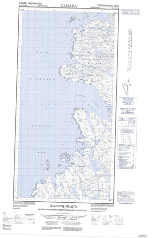
025A07W Killiniq Island Canada topo map, 1:50,000 scale
025A07W Killiniq Island NRCAN topographic map.
Includes UTM and GPS geographic coordinates (latitude and longitude). This 50k scale map is suitable for hiking, camping, and exploring, or you could frame it as a wall map.
Printed on-demand using high resolution, on heavy weight and acid free paper, or as an upgrade on a variety of synthetic materials.
Topos available on paper, Waterproof, Poly, or Tyvek. Usually shipping rolled, unless combined with other folded maps in one order.
- Halfsheet: This map was designed as a half sheet of NRCAN-025A07, and it is the Western half. Find the eastern half sheet here.
- Product Number: NRCAN-025A07W
- Parent Topo: TOPO-025A
- Map ID also known as: 025A07, 25A7, 25A07
- Unfolded Size: Approximately 26" high by 36" wide
- Weight (paper map): ca. 55 grams
- Map Type: POD NRCAN Topographic Map
- Map Scale: 1:50,000
- Geographical region: Newfoundland and Labrador, Canada
Neighboring Maps:
All neighboring Canadian topo maps are available for sale online at 1:50,000 scale.
Purchase the smaller scale map covering this area: Topo-025A
Spatial coverage:
Topo map sheet 025A07W Killiniq Island covers the following places:
- Amittok Inlet - Arviviniq Bay - Baie Young - Blandford Harbour - Fox Harbour - Havre Blandford - Havre O'Brien - Kangirsualujjuarusiq Inlet - Lady Job Harbour - Mission Cove - Munro Harbour - Nuvukulup Kangirsukulua Inlet - O'Brien Harbour - Qimmuksiriaq Bay - Tasiujaguluk Inlet - Tasiujakuluk Bay - Tunnissugjuak Inlet - Yerworth Bay - Young Inlet - Akullialuk - Camp Akullialuk - Camp Tupirvik - Cap Uivvaajuk - Cap William-Smith - Nuvukallak Point - Chenal McLelan - Forbes Sound - Gray Strait - Ingirranikuluk Narrows - Lenz Strait - MacGregor Strait - McLelan Strait - McLelan Strait - Ukiarsiviup Sivurarsinga Channel - Yerworth Channel - Bush Island - Flat Island - Goddard Island - Hettash Island - Jackson Island - Killinek Island - Killinek Island - Killiniq Island - Killiniq Island - Perrett Island - Pert Island - Qikirtagalait Islands - Tupilarvik Islands - Ukiarsivik Island - Lac Iggaraaluk - Qanurlivik Lake - Port Burwell - Port Harvey - Mont Qalirusilik - Mount Sir Donald - Killiniq - Port Burwell


