
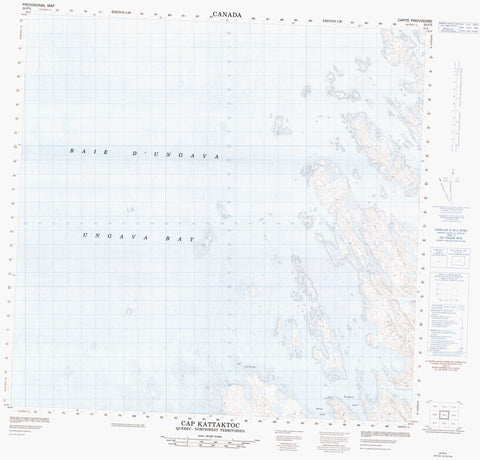
024P05 Cap Kattaktoc Canada topo map, 1:50,000 scale
024P05 Cap Kattaktoc NRCAN topographic map.
Includes UTM and GPS geographic coordinates (latitude and longitude). This 50k scale map is suitable for hiking, camping, and exploring, or you could frame it as a wall map.
Printed on-demand using high resolution, on heavy weight and acid free paper, or as an upgrade on a variety of synthetic materials.
Topos available on paper, Waterproof, Poly, or Tyvek. Usually shipping rolled, unless combined with other folded maps in one order.
- Product Number: NRCAN-024P05
- Parent Topo: TOPO-024P
- Map ID also known as: 024P05, 24P5, 24P05
- Unfolded Size: Approximately 26" high by 36" wide
- Weight (paper map): ca. 55 grams
- Map Type: POD NRCAN Topographic Map
- Map Scale: 1:50,000
- Geographical region: Newfoundland and Labrador, Canada
Neighboring Maps:
All neighboring Canadian topo maps are available for sale online at 1:50,000 scale.
Purchase the smaller scale map covering this area: Topo-024P
Spatial coverage:
Topo map sheet 024P05 Cap Kattaktoc covers the following places:
- Baie d'Ungava - Davis Inlet - Gregson Inlet - Napaartuliup Aqiarussunga Inlet - Ungava Bay - Cap Kattaktoc - Pointe Akuliakuluk - Ikirasakittuq Channel - Surquituq Channel - Agiuppiniq Island - Anarnituit Islands - Arnakuvik Island - Île Inussulaat - Île Inussutualik - Inuksutualik Island - Inussulaat Island - Manirittuq Island - Mitirpunga Island - Napaartuliup Qikirtangit Islands - Nasaujaluk Islands - Qajakuvikkallak Islands - Qajallisimavialuk Islands - Qajallisimaviaruk Islands - Sallijukaapik Island - Sallijukak Islands - Siuralik Islands - Tasilik Islands - Tikiraaluk Island


