
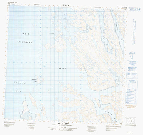
024P04 Keglo Bay Canada topo map, 1:50,000 scale
024P04 Keglo Bay NRCAN topographic map.
Includes UTM and GPS geographic coordinates (latitude and longitude). This 50k scale map is suitable for hiking, camping, and exploring, or you could frame it as a wall map.
Printed on-demand using high resolution, on heavy weight and acid free paper, or as an upgrade on a variety of synthetic materials.
Topos available on paper, Waterproof, Poly, or Tyvek. Usually shipping rolled, unless combined with other folded maps in one order.
- Product Number: NRCAN-024P04
- Parent Topo: TOPO-024P
- Map ID also known as: 024P04, 24P4, 24P04
- Unfolded Size: Approximately 26" high by 36" wide
- Weight (paper map): ca. 55 grams
- Map Type: POD NRCAN Topographic Map
- Map Scale: 1:50,000
- Geographical region: Newfoundland and Labrador, Canada
Neighboring Maps:
All neighboring Canadian topo maps are available for sale online at 1:50,000 scale.
Purchase the smaller scale map covering this area: Topo-024P
Spatial coverage:
Topo map sheet 024P04 Keglo Bay covers the following places:
- Baie Aqiarussuk - Baie d'Ungava - Baie Tasiujaaluk - Davis Inlet - Fjord Qasigiarsiti - Gregson Inlet - Ikirasaalup Aqiarussunga Inlet - Keglo Bay - Kisarvik Anchorage - Qarliit Tuvanga Bay - Qasigiarsitik Inlet - Tasiujaaluk Bay - Tupirvialuk Bay - Ungava Bay - Uvaavik Bay - Ikirasaaluk Channels - Ikirasaapik Channel - Akilasaalup Qikirtakallak Island - Ammumajualuk Island - Ikkiraaluk Island - Île Inussutualik - Île Manirittuq - Île Qiggutuq - Île Qingaujait - Île Sallijukaapik - Île Siuralialuk - Île Siuralik - Île Ukalirsiti - Ingirranirjuataq Island - Inuksutualik Island - Kikkertoksoak Island - Kikkertoksoak Islands - Kisarvik Island - Manirittuq Island - Paungaqutiit Islands - Pikiuliguluk Island - Qiggutuq Islands - Qikirtakutaaq Island - Qingaujaq Island - Siuralialuk Island - Siuralik Island - Siuralikallak Island - Ukalirsitik Islands - Uvirlirtuq Island - Rivière Baudan


