
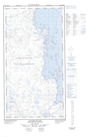
024K09W Anchor Island Canada topo map, 1:50,000 scale
024K09W Anchor Island NRCAN topographic map.
Includes UTM and GPS geographic coordinates (latitude and longitude). This 50k scale map is suitable for hiking, camping, and exploring, or you could frame it as a wall map.
Printed on-demand using high resolution, on heavy weight and acid free paper, or as an upgrade on a variety of synthetic materials.
Topos available on paper, Waterproof, Poly, or Tyvek. Usually shipping rolled, unless combined with other folded maps in one order.
- Halfsheet: This map was designed as a half sheet of NRCAN-024K09, and it is the Western half. Find the eastern half sheet here.
- Product Number: NRCAN-024K09W
- Parent Topo: TOPO-024K
- Map ID also known as: 024K09, 24K9, 24K09
- Unfolded Size: Approximately 26" high by 36" wide
- Weight (paper map): ca. 55 grams
- Map Type: POD NRCAN Topographic Map
- Map Scale: 1:50,000
- Geographical region: Nunavut, Canada
Neighboring Maps:
All neighboring Canadian topo maps are available for sale online at 1:50,000 scale.
Purchase the smaller scale map covering this area: Topo-024K
Spatial coverage:
Topo map sheet 024K09W Anchor Island covers the following places:
- Anse Ammujaarituq - Anse Amujaarittuq - Baie d'Ungava - Baie Kangirsinialuk - Baie Sawtooth - Baie Sèche - Baie Sèche - Baie Sham - Kangirsinialuk Bay - Sawtooth Bay - Schnak Cove - Sham Bay - Ungava Bay - Camp Illualuttalik - Cap Inuksutujuq - Cap Inussutujuq - Pointe Aisavartalik - Pointe Asshavuktalik - Pointe Congnarauya - Pointe Nuvukutaaq - Pointe Qirniraujaq - Anchor Island - Archipel Qikirtaajuit - Île Anchor - Île Double - Île Qikirtaajuit - Île Qikirtaguluk - Île Qikirtaujaaluk - Îles Itittaviit - Itittaviit Islands - Pauktorvik Island - Qikirtaajuit Islands - Qikirtaguluk Island - Lac Tasiapik - The Wart - Rivière Koksoak - Rivière Kuuguluk - Rivière Kuukuluk - Rivière Kuuraapik - Rivière Nepihjee - Rivière Qalialuup - Rivière Qirniraujaup - Caution Shoals - Octopus Reef - Récif Ikkaruapik - Récifs Octopus - Springs Reef


