
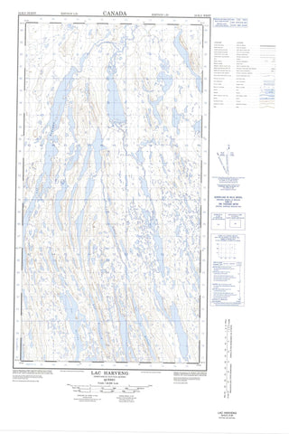
024K05W Lac Harveng Canada topo map, 1:50,000 scale
024K05W Lac Harveng NRCAN topographic map.
Includes UTM and GPS geographic coordinates (latitude and longitude). This 50k scale map is suitable for hiking, camping, and exploring, or you could frame it as a wall map.
Printed on-demand using high resolution, on heavy weight and acid free paper, or as an upgrade on a variety of synthetic materials.
Topos available on paper, Waterproof, Poly, or Tyvek. Usually shipping rolled, unless combined with other folded maps in one order.
- Halfsheet: This map was designed as a half sheet of NRCAN-024K05, and it is the Western half. Find the eastern half sheet here.
- Product Number: NRCAN-024K05W
- Parent Topo: TOPO-024K
- Map ID also known as: 024K05, 24K5, 24K05
- Unfolded Size: Approximately 26" high by 36" wide
- Weight (paper map): ca. 55 grams
- Map Type: POD NRCAN Topographic Map
- Map Scale: 1:50,000
- Geographical region: Nunavut, Canada
Neighboring Maps:
All neighboring Canadian topo maps are available for sale online at 1:50,000 scale.
Purchase the smaller scale map covering this area: Topo-024K
Spatial coverage:
Topo map sheet 024K05W Lac Harveng covers the following places:
- Lac Argnatalik - Lac Arnatalik - Lac Baby - Lac Bourgault - Lac Brunet - Lac Carol - Lac Clotilde - Lac de la Pyroxénite - Lac de l'Avoine - Lac de l'Indice - Lac Deharveng - Lac des Haches - Lac des Moineaux - Lac Faujas - Lac Gerido - Lac Greenbush - Lac Harveng - Lac Hugues - Lac Jean-Michel - Lac Lachance - Lac Lafortune - Lac Lavallée - Lac Montplaisir - Lac Nuluarniavik - Lac Pinette - Lac Soucy - Lac Thierry - Lac Ukunngaalik - Lac Wall - Lacs Qamaniik - Mont Siukkaq - Rivière Deharveng - Rivière Harveng


