
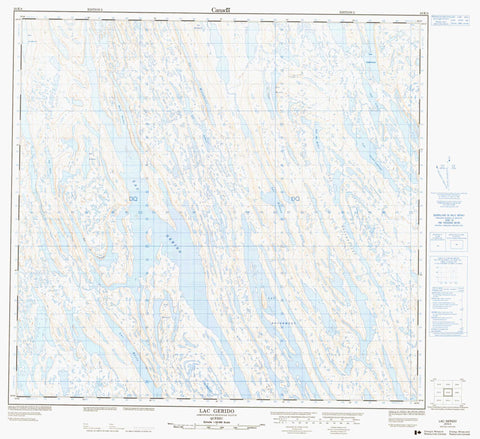
024K04 Lac Gerido Canada topo map, 1:50,000 scale
024K04 Lac Gerido NRCAN topographic map.
Includes UTM and GPS geographic coordinates (latitude and longitude). This 50k scale map is suitable for hiking, camping, and exploring, or you could frame it as a wall map.
Printed on-demand using high resolution, on heavy weight and acid free paper, or as an upgrade on a variety of synthetic materials.
Topos available on paper, Waterproof, Poly, or Tyvek. Usually shipping rolled, unless combined with other folded maps in one order.
- Product Number: NRCAN-024K04
- Parent Topo: TOPO-024K
- Map ID also known as: 024K04, 24K4, 24K04
- Unfolded Size: Approximately 26" high by 36" wide
- Weight (paper map): ca. 55 grams
- Map Type: POD NRCAN Topographic Map
- Map Scale: 1:50,000
- Geographical region: Nunavut, Canada
Neighboring Maps:
All neighboring Canadian topo maps are available for sale online at 1:50,000 scale.
Purchase the smaller scale map covering this area: Topo-024K
Spatial coverage:
Topo map sheet 024K04 Lac Gerido covers the following places:
- Baie Duchez - Lac Alain - Lac Albert - Lac Black - Lac Bourgault - Lac Bowen - Lac Cameron - Lac Carol - Lac Chrysler - Lac Clotilde - Lac De Romer - Lac Descharmes - Lac Désery - Lac en Crochet - Lac Gallant - Lac Gerido - Lac Hellancourt - Lac Hianveu - Lac Holannah - Lac Hook - Lac Jean-Michel - Lac Lachance - Lac Lafortune - Lac Ledoux - Lac Montplaisir - Lac Newton - Lac Pajot - Lac Pard - Lac Park - Lac Pavot - Lac Rale - Lac Rasle - Lac Rougemont - Lac Saint-Pierre - Lac Sauvé - Lac Schreiber - Lac Wall


