
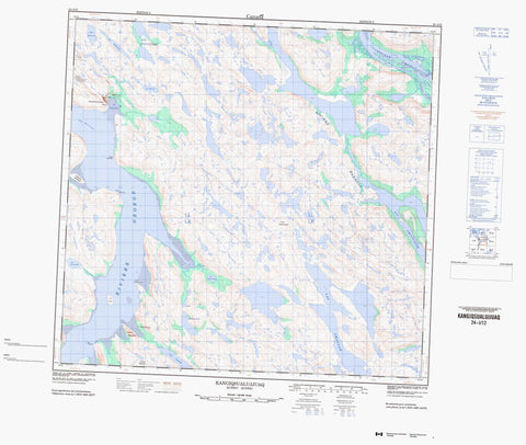
024I12 Kangiqsualujjuaq Canada topo map, 1:50,000 scale
024I12 Kangiqsualujjuaq NRCAN topographic map.
Includes UTM and GPS geographic coordinates (latitude and longitude). This 50k scale map is suitable for hiking, camping, and exploring, or you could frame it as a wall map.
Printed on-demand using high resolution, on heavy weight and acid free paper, or as an upgrade on a variety of synthetic materials.
Topos available on paper, Waterproof, Poly, or Tyvek. Usually shipping rolled, unless combined with other folded maps in one order.
- Product Number: NRCAN-024I12
- Parent Topo: TOPO-024I
- Map ID also known as: 024I12, 24I12
- Unfolded Size: Approximately 26" high by 36" wide
- Weight (paper map): ca. 55 grams
- Map Type: POD NRCAN Topographic Map
- Map Scale: 1:50,000
- Geographical region: Newfoundland and Labrador, Canada
Neighboring Maps:
All neighboring Canadian topo maps are available for sale online at 1:50,000 scale.
Purchase the smaller scale map covering this area: Topo-024I
Spatial coverage:
Topo map sheet 024I12 Kangiqsualujjuaq covers the following places:
- Aéroport de Kangiqsualujjuaq - Anse Akilasakallak - Baie Akilasaaluk - Camp Jaanialuk - Camp Juunasiq - Camp Makaluk - Camp Mirqiajuq - Camp Saamanniaviguluk - Cap Assatuujaq - Pointe Akianiittuq - Pointe Ilattiniittuq - Pointe Nuluarniavikuluk - Pointe Nuvualuk - Presqu'île Qikirtaujaq - Passe Sangumakallak - The Narrows - Île Ford - Île Puvirniq - Qikirtaaluk - Lac Amaujaq - Lac Amittujaq - Lac Amittuujaq - Lac Mivvik - Lac Navvaataaq - Lac Qikirtalik - Lac Quinijulik - Lac Tasialuk - Lac Tasikutaaq - Lacs Akilasaaluk - Lacs Ningiunginnait - Centrale de Kangiqsualujjuaq - Poste de Kangiqsualujjuaq - Colline Assatuujaq - Colline Nasaujaq - Colline Qikirtaujaq - Mushuau Shipu - Pupun Nikau Shipu - Rivière Barnoin - Rivière George - Rivière Kangertialuksoak - Rivière Koraksoak - Rivière Koroc - Rivière Long - Ruisseau Koroksuakh - Ruisseau Naksaluk - Ruisseau Narsaaluk - Ruisseau Quinijulik - Illutaliviniq - Kangiqsualujjuaq - Port-Nouveau-Québec - Vallée de la Koroc - George River - Kangiqsualujjuaq


