
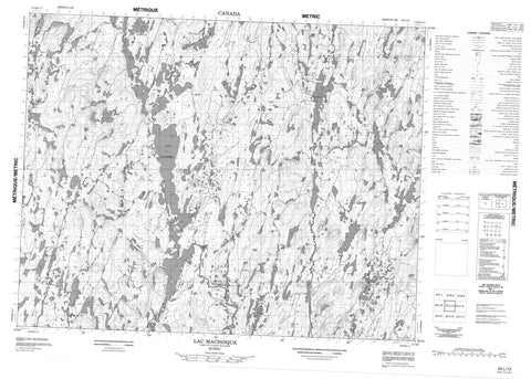
022L13 Lac Machisque Canada topo map, 1:50,000 scale
022L13 Lac Machisque NRCAN topographic map.
Includes UTM and GPS geographic coordinates (latitude and longitude). This 50k scale map is suitable for hiking, camping, and exploring, or you could frame it as a wall map.
Printed on-demand using high resolution, on heavy weight and acid free paper, or as an upgrade on a variety of synthetic materials.
Topos available on paper, Waterproof, Poly, or Tyvek. Usually shipping rolled, unless combined with other folded maps in one order.
- Product Number: NRCAN-022L13
- Parent Topo: TOPO-022L
- Map ID also known as: 022L13, 22L13
- Unfolded Size: Approximately 26" high by 36" wide
- Weight (paper map): ca. 55 grams
- Map Type: POD NRCAN Topographic Map
- Map Scale: 1:50,000
- Geographical region: Quebec, Canada
Neighboring Maps:
All neighboring Canadian topo maps are available for sale online at 1:50,000 scale.
Purchase the smaller scale map covering this area: Topo-022L
Spatial coverage:
Topo map sheet 022L13 Lac Machisque covers the following places:
- Lac Berthier - Lac Charlotte - Lac Cyrille - Lac Diane - Lac Donat - Lac Émile - Lac en Serre - Lac Ford - Lac Gaétane - Lac Gazeau - Lac Gérard - Lac Gibus - Lac Gino - Lac Guay - Lac Haricot - Lac Ivanhoé - Lac Machisque - Lac Marabout - Lac Monroe - Lac Olga - Lac Orieux - Lac Pierrot - Lac Pontiac - Lac Rachel - Lac Rigolo - Lac Tigre - Lac Victor - Rivière Mistassibi Nord-Est


