
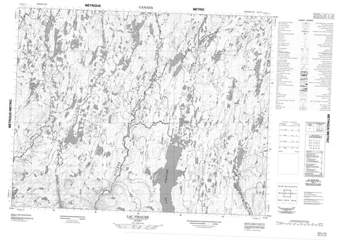
022L12 Lac Piraube Canada topo map, 1:50,000 scale
022L12 Lac Piraube NRCAN topographic map.
Includes UTM and GPS geographic coordinates (latitude and longitude). This 50k scale map is suitable for hiking, camping, and exploring, or you could frame it as a wall map.
Printed on-demand using high resolution, on heavy weight and acid free paper, or as an upgrade on a variety of synthetic materials.
Topos available on paper, Waterproof, Poly, or Tyvek. Usually shipping rolled, unless combined with other folded maps in one order.
- Product Number: NRCAN-022L12
- Parent Topo: TOPO-022L
- Map ID also known as: 022L12, 22L12
- Unfolded Size: Approximately 26" high by 36" wide
- Weight (paper map): ca. 55 grams
- Map Type: POD NRCAN Topographic Map
- Map Scale: 1:50,000
- Geographical region: Quebec, Canada
Neighboring Maps:
All neighboring Canadian topo maps are available for sale online at 1:50,000 scale.
Purchase the smaller scale map covering this area: Topo-022L
Spatial coverage:
Topo map sheet 022L12 Lac Piraube covers the following places:
- Lac Bêta - Lac Boyd - Lac Cerise - Lac Christiane - Lac Court - Lac de la Momie - Lac Délima - Lac Donald - Lac du Caribou - Lac du Gros Glacier - Lac du Petit Glacier - Lac Fagré - Lac Froget - Lac Gaétan - Lac Homard - Lac Margot - Lac Mercier - Lac Nipissi - Lac Piraube - Lac Suzanne - Lac Torel - Rivière Mistassibi Nord-Est - Rivière Saint-Onge


