
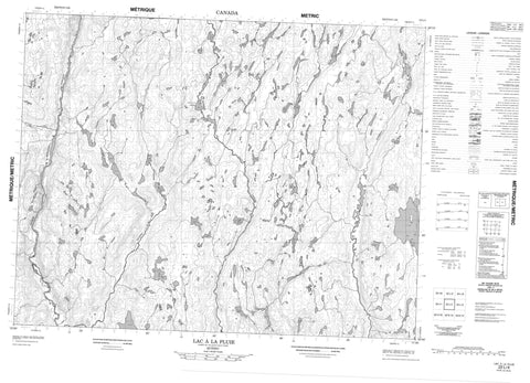
022L04 Lac A La Pluie Canada topo map, 1:50,000 scale
022L04 Lac A La Pluie NRCAN topographic map.
Includes UTM and GPS geographic coordinates (latitude and longitude). This 50k scale map is suitable for hiking, camping, and exploring, or you could frame it as a wall map.
Printed on-demand using high resolution, on heavy weight and acid free paper, or as an upgrade on a variety of synthetic materials.
Topos available on paper, Waterproof, Poly, or Tyvek. Usually shipping rolled, unless combined with other folded maps in one order.
- Product Number: NRCAN-022L04
- Parent Topo: TOPO-022L
- Map ID also known as: 022L04, 22L4, 22L04
- Unfolded Size: Approximately 26" high by 36" wide
- Weight (paper map): ca. 55 grams
- Map Type: POD NRCAN Topographic Map
- Map Scale: 1:50,000
- Geographical region: Quebec, Canada
Neighboring Maps:
All neighboring Canadian topo maps are available for sale online at 1:50,000 scale.
Purchase the smaller scale map covering this area: Topo-022L
Spatial coverage:
Topo map sheet 022L04 Lac A La Pluie covers the following places:
- Lac à la Pluie - Lac de l'Orignal - Lac Goisard - Lac Henri - Lac Qui-Bouille - Chute-des-Passes - Rivière à François - Rivière au Serpent - Rivière du Sapin Croche - Rivière Henri - Rivière Mistassibi Nord-Est


