
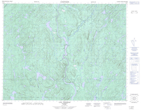
022K11 Lac Hermas Canada topo map, 1:50,000 scale
022K11 Lac Hermas NRCAN topographic map.
Includes UTM and GPS geographic coordinates (latitude and longitude). This 50k scale map is suitable for hiking, camping, and exploring, or you could frame it as a wall map.
Printed on-demand using high resolution, on heavy weight and acid free paper, or as an upgrade on a variety of synthetic materials.
Topos available on paper, Waterproof, Poly, or Tyvek. Usually shipping rolled, unless combined with other folded maps in one order.
- Product Number: NRCAN-022K11
- Parent Topo: TOPO-022K
- Map ID also known as: 022K11, 22K11
- Unfolded Size: Approximately 26" high by 36" wide
- Weight (paper map): ca. 55 grams
- Map Type: POD NRCAN Topographic Map
- Map Scale: 1:50,000
- Geographical region: Quebec, Canada
Neighboring Maps:
All neighboring Canadian topo maps are available for sale online at 1:50,000 scale.
Purchase the smaller scale map covering this area: Topo-022K
Spatial coverage:
Topo map sheet 022K11 Lac Hermas covers the following places:
- Baie de la Faiblesse - Baie du Uapush Ushtikuan - Lac de la Bonne Année - Lac de la Cache Volée - Lac de la Cépée - Lac de la Faiblesse - Lac de la Pantoufle - Lac des Boutures - Lac des Brins - Lac des Drageons - Lac des Germinats - Lac des Marcottes - Lac des Mors - Lac des Mulls - Lac des Plantes-Mères - Lac des Ricaneuses - Lac des Spores - Lac des Tiges - Lac Double - Lac du Bois Debout - Lac du Chat Gourmand - Lac du Poêle - Lac Fer à Cheval - Lac Hermas - Lac Lemieux - Lac Mignon - Lac Norbert - Lac Picard - Lac Picard Sud - Lac Sapin - Lac Uapush Ushtikuan - Lacs Doubles - Lacs Frère et Soeur - Lacs Shuliau - Réservoir aux Outardes 4 - Réservoir Outardes Quatre - Rivière à la Vase - Rivière aux Outardes - Rivière aux Poissons - Rivière Blanzy - Rivière Castoréum - Rivière Croche - Rivière Crooked - Rivière des Chutes - Rivière du Bois Long - Rivière du Grand Brûlé - Rivière Paradis - Ruisseau Uapush Ushtikuan - Upishkutuian - Marais Brûlant


