
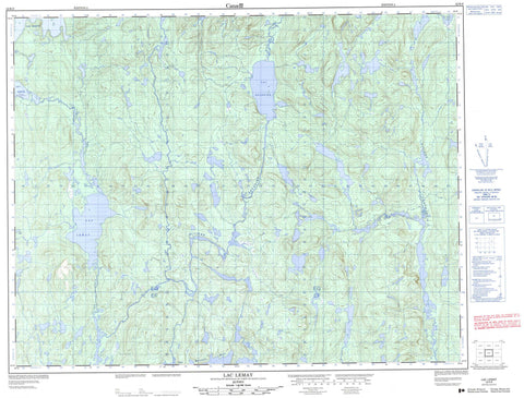
022K09 Lac Lemay Canada topo map, 1:50,000 scale
022K09 Lac Lemay NRCAN topographic map.
Includes UTM and GPS geographic coordinates (latitude and longitude). This 50k scale map is suitable for hiking, camping, and exploring, or you could frame it as a wall map.
Printed on-demand using high resolution, on heavy weight and acid free paper, or as an upgrade on a variety of synthetic materials.
Topos available on paper, Waterproof, Poly, or Tyvek. Usually shipping rolled, unless combined with other folded maps in one order.
- Product Number: NRCAN-022K09
- Parent Topo: TOPO-022K
- Map ID also known as: 022K09, 22K9, 22K09
- Unfolded Size: Approximately 26" high by 36" wide
- Weight (paper map): ca. 55 grams
- Map Type: POD NRCAN Topographic Map
- Map Scale: 1:50,000
- Geographical region: Quebec, Canada
Neighboring Maps:
All neighboring Canadian topo maps are available for sale online at 1:50,000 scale.
Purchase the smaller scale map covering this area: Topo-022K
Spatial coverage:
Topo map sheet 022K09 Lac Lemay covers the following places:
- Lac Aguenier - Lac Berté - Lac Bigamie - Lac Briand - Lac Cancer - Lac Citadelle - Lac des Presqu'îles - Lac Gigot - Lac Goujon - Lac Jeandray - Lac Lemay - Lac Mauvais Bois - Lac Munger - Lac Phyllis - Lac Sauvage - Rivière Aguenier - Rivière Fontmarais - Rivière Isoukustouc - Rivière Lemay - Rivière Plate


