
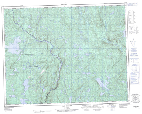
022J15 Lac Dollard Canada topo map, 1:50,000 scale
022J15 Lac Dollard NRCAN topographic map.
Includes UTM and GPS geographic coordinates (latitude and longitude). This 50k scale map is suitable for hiking, camping, and exploring, or you could frame it as a wall map.
Printed on-demand using high resolution, on heavy weight and acid free paper, or as an upgrade on a variety of synthetic materials.
Topos available on paper, Waterproof, Poly, or Tyvek. Usually shipping rolled, unless combined with other folded maps in one order.
- Product Number: NRCAN-022J15
- Parent Topo: TOPO-022J
- Map ID also known as: 022J15, 22J15
- Unfolded Size: Approximately 26" high by 36" wide
- Weight (paper map): ca. 55 grams
- Map Type: POD NRCAN Topographic Map
- Map Scale: 1:50,000
- Geographical region: Quebec, Canada
Neighboring Maps:
All neighboring Canadian topo maps are available for sale online at 1:50,000 scale.
Purchase the smaller scale map covering this area: Topo-022J
Spatial coverage:
Topo map sheet 022J15 Lac Dollard covers the following places:
- Barrage Denis-Perron - Lac à la Pêche - Lac à Moi - Lac à Nous - Lac à Toi - Lac André - Lac Ange - Lac Apache - Lac Boston - Lac Cacaoui - Lac Cantagre - Lac Castor - Lac Crochet - Lac Croteau - Lac Daiguisiers - Lac de la Rencontre - Lac de l'Attrape - Lac de l'Épandage - Lac Diamant - Lac Dollard - Lac du Cap - Lac du Castor - Lac du Chantier - Lac du Taon-Qui-Pique - Lac du Train - Lac en Peine - Lac Hélène - Lac Jourdain - Lac Kim - Lac la Pêche - Lac Landry - Lac Laure - Lac Limace - Lac Louis - Lac Louise - Lac Lunaire - Lac Malagri - Lac Mario - Lac Médaillon - Lac Mystique - Lac Nitro - Lac Obscur - Lac Ordine - Lac Outarde - Lac Papy - Lac Paul - Lac Pierre - Lac Pierre-Girard - Lac Repère - Lac Rieux - Lac Sans Bout - Lac Secoué - Lac Splash - Lac Vierge - Lac Vigneault - Réservoir de la Sainte-Marguerite 3 - Rivière Cacaoui - Rivière du Nireau - Rivière Ouapetec - Rivière Sainte-Marguerite - Ruisseau Apache - Ruisseau des Quatre Baies - Ruisseau du Taon-Qui-Pique - Ruisseau Louis - Ruisseau Louise - Fosse de la Belle Étoile - Fosse de la Mini Mouche Seize - Fosse de la Mouche Seize - Fosse de l'Île - Fosse du Cliff - Fosse Fergy


