
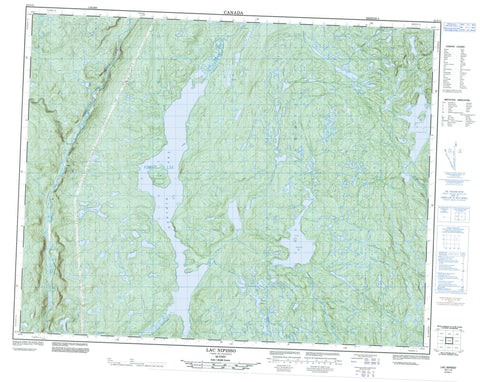
022I13 Lac Nipisso Canada topo map, 1:50,000 scale
022I13 Lac Nipisso NRCAN topographic map.
Includes UTM and GPS geographic coordinates (latitude and longitude). This 50k scale map is suitable for hiking, camping, and exploring, or you could frame it as a wall map.
Printed on-demand using high resolution, on heavy weight and acid free paper, or as an upgrade on a variety of synthetic materials.
Topos available on paper, Waterproof, Poly, or Tyvek. Usually shipping rolled, unless combined with other folded maps in one order.
- Product Number: NRCAN-022I13
- Parent Topo: TOPO-022I
- Map ID also known as: 022I13, 22I13
- Unfolded Size: Approximately 26" high by 36" wide
- Weight (paper map): ca. 55 grams
- Map Type: POD NRCAN Topographic Map
- Map Scale: 1:50,000
- Geographical region: Quebec, Canada
Neighboring Maps:
All neighboring Canadian topo maps are available for sale online at 1:50,000 scale.
Purchase the smaller scale map covering this area: Topo-022I
Spatial coverage:
Topo map sheet 022I13 Lac Nipisso covers the following places:
- Chute Keshcouhn - Île Yodel - La Grosse Île - Lac Albany - Lac Anamoutche - Lac Bigot - Lac Debor - Lac du Bouleau - Lac Firth - Lac Moisi - Lac Moisic - Lac Moisie - Lac Nipisso - Lac Onamouth - Lac Pérusse - Lac Tortue - Lac Vatchichilet - Lac Volant - Lac Zorch - Côte-Nord - Rivière au Bouleau - Rivière auxÎlets - Rivière Kakatiak - Rivière Manitou - Rivière Nipissis - Rivière Nipisso - Rivière Tortue - Rivière Wacouno - Rivière Washa-Coush-Noon - Ruisseau à la Chasse - Ruisseau Anamoutche - Ruisseau au Castor - Ruisseau au Lièvre - Ruisseau Plat - Tika


