
022I01 Ile Nue De Mingan Canada topo map, 1:50,000 scale
022I01 Ile Nue De Mingan NRCAN topographic map.
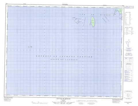
Includes UTM and GPS geographic coordinates (latitude and longitude). This 50k scale map is suitable for hiking, camping, and exploring, or you could frame it as a wall map.
Printed on-demand using high resolution, on heavy weight and acid free paper, or as an upgrade on a variety of synthetic materials.
Topos available on paper, Waterproof, Poly, or Tyvek. Usually shipping rolled, unless combined with other folded maps in one order.
- Product Number: NRCAN-022I01
- Parent Topo: TOPO-022I
- Map ID also known as: 022I01, 22I1, 22I01
- Unfolded Size: Approximately 26" high by 36" wide
- Weight (paper map): ca. 55 grams
- Map Type: POD NRCAN Topographic Map
- Map Scale: 1:50,000
- Geographical region: Quebec, Canada
Neighboring Maps:
All neighboring Canadian topo maps are available for sale online at 1:50,000 scale.
Purchase the smaller scale map covering this area: Topo-022I
Spatial coverage:
Topo map sheet 022I01 Ile Nue De Mingan covers the following places:
- Anse à Chaloupe - Anse à Jos - Baie à Moyacs - Le Havre - Chenal aux Bouleaux - Chenal aux Perroquets - Détroit de Jacques-Cartier - La Passe - Archipel de Mingan - Caye Noire - Île à Bouleaux de Terre - Île à Bouleaux du Large - Île aux Bouleaux - Île aux Perroquets - Île de la Maison - Île de Mingan - Île du Wreck - Île Nue de Mingan - Île Plate - Îles aux Perroquets - Îles de Mingan - La Montagnaise - Le Pain de Sucre - Les Fourneaux - L'Îlot - Petite île aux Bouleaux - Rocher Hulk - Lac du Bonhomme-Jos - Lac du Bonhomme-Pierre - Mingan Archipelago National Park Reserve of Canada - Réserve de parc national du Canada de l'Archipel-de-Mingan - Sentier Katsheuatan - Banc de Mingan - Bancs de Mingan


