
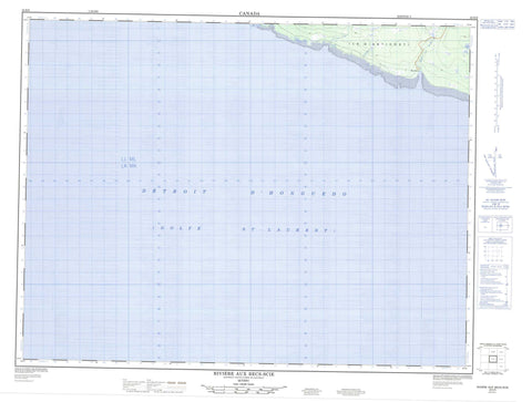
022H09 Riviere Aux Becs Scie Canada topo map, 1:50,000 scale
022H09 Riviere Aux Becs Scie NRCAN topographic map.
Includes UTM and GPS geographic coordinates (latitude and longitude). This 50k scale map is suitable for hiking, camping, and exploring, or you could frame it as a wall map.
Printed on-demand using high resolution, on heavy weight and acid free paper, or as an upgrade on a variety of synthetic materials.
Topos available on paper, Waterproof, Poly, or Tyvek. Usually shipping rolled, unless combined with other folded maps in one order.
- Product Number: NRCAN-022H09
- Parent Topo: TOPO-022H
- Map ID also known as: 022H09, 22H9, 22H09
- Unfolded Size: Approximately 26" high by 36" wide
- Weight (paper map): ca. 55 grams
- Map Type: POD NRCAN Topographic Map
- Map Scale: 1:50,000
- Geographical region: Quebec, Canada
Neighboring Maps:
All neighboring Canadian topo maps are available for sale online at 1:50,000 scale.
Purchase the smaller scale map covering this area: Topo-022H
Spatial coverage:
Topo map sheet 022H09 Riviere Aux Becs Scie covers the following places:
- Anse à Chabot - Baie des Sarcelles - Bec-Scie - Becs-Scie - Cap à la Craie - Cap à la Crêpe - Côte de la Grande Traversée - Côte des Lagunes - Pointe à Chabot - Pointe aux Blocs Erratiques - Pointe aux Foins - Pointe aux Pimbinas - Pointe des Algues - Pointe des Flèches Littorales - Pointe des Vasques - Pointe du Coco - Pointe du Mort - Pointe du Synclinal - Détroit d'Honguedo - Passage Gaspé - Lac Colas - Lacs de la Pointe aux Graines - La Petite Rivière - Rivière aux Becs-Scie - Rivière aux Graines - Rivière Bec-Scie - Ruisseau de la Plaine - La Plaine


