
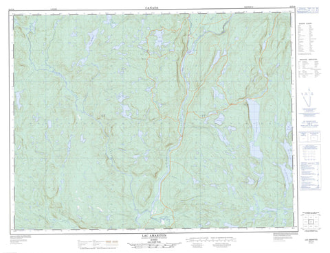
022F16 Lac Amariton Canada topo map, 1:50,000 scale
022F16 Lac Amariton NRCAN topographic map.
Includes UTM and GPS geographic coordinates (latitude and longitude). This 50k scale map is suitable for hiking, camping, and exploring, or you could frame it as a wall map.
Printed on-demand using high resolution, on heavy weight and acid free paper, or as an upgrade on a variety of synthetic materials.
Topos available on paper, Waterproof, Poly, or Tyvek. Usually shipping rolled, unless combined with other folded maps in one order.
- Product Number: NRCAN-022F16
- Parent Topo: TOPO-022F
- Map ID also known as: 022F16, 22F16
- Unfolded Size: Approximately 26" high by 36" wide
- Weight (paper map): ca. 55 grams
- Map Type: POD NRCAN Topographic Map
- Map Scale: 1:50,000
- Geographical region: Quebec, Canada
Neighboring Maps:
All neighboring Canadian topo maps are available for sale online at 1:50,000 scale.
Purchase the smaller scale map covering this area: Topo-022F
Spatial coverage:
Topo map sheet 022F16 Lac Amariton covers the following places:
- Morency - Lac 3.1416 - Lac Amariton - Lac au Chevreuil - Lac Barbu - Lac Corsaire - Lac des Fosses - Lac du Canard - Lac du Corbeau - Lac en Coeur - Lac Étroit - Lac Jourdain - Lac La Barderie - Lac Larose - Lac Louis - Lac Margot - Lac Morency - Lac Pesetone - Lac Profond - Lac Qu'Appelle - Lac Saint-Henri - Lac Saint-Jacques - Lac Wellie - Petit lac du Corbeau - Rapides Benoît - Rivière à la Marte - Rivière Amariton - Rivière du Caribou - Rivière du Coude - Rivière Isoukustouc - Rivière Landry - Rivière Pistuacanis - Rivière Pourroy - Rivière Qu'Appelle - Rivière Rocque - Rivière Toulnustouc - Ruisseau Duclos - Ruisseau Jourdain - Ruisseau Larose - Ruisseau Rooney - Les Crans Serrés


