
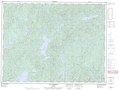
022F13 Lac Dissimieux Canada topo map, 1:50,000 scale
022F13 Lac Dissimieux NRCAN topographic map.
Includes UTM and GPS geographic coordinates (latitude and longitude). This 50k scale map is suitable for hiking, camping, and exploring, or you could frame it as a wall map.
Printed on-demand using high resolution, on heavy weight and acid free paper, or as an upgrade on a variety of synthetic materials.
Topos available on paper, Waterproof, Poly, or Tyvek. Usually shipping rolled, unless combined with other folded maps in one order.
- Product Number: NRCAN-022F13
- Parent Topo: TOPO-022F
- Map ID also known as: 022F13, 22F13
- Unfolded Size: Approximately 26" high by 36" wide
- Weight (paper map): ca. 55 grams
- Map Type: POD NRCAN Topographic Map
- Map Scale: 1:50,000
- Geographical region: Quebec, Canada
Neighboring Maps:
All neighboring Canadian topo maps are available for sale online at 1:50,000 scale.
Purchase the smaller scale map covering this area: Topo-022F
Spatial coverage:
Topo map sheet 022F13 Lac Dissimieux covers the following places:
- Lac Alice - Lac Boily - Lac Chester - Lac Dissimieux - Lac Doyon - Lac en Dentelle - Lac Fleury - Lac Grimoult - Lac Jean-Savard - Lac Lulu - Lac Noël - Lac Philomen - Lac Ray - Lac Roy - Lac Sam - Lac Sylvain - Lac Ti-Gousse - Lac Uchichicau - Lac Violette - Petit lac du Brochet - Poste du Lac-Alice - Rivière au Brochet - Rivière aux Biscuits - Rivière aux Biscuits - Rivière Bersimis - Rivière Betsiamites - Rivière Castor - Rivière Crochue - Rivière en Dentelle - Rivière Praslin - Ruisseau Fleury - Ruisseau Violette


