
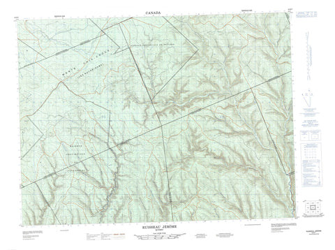
022B07 Ruisseau Jerome Canada topo map, 1:50,000 scale
022B07 Ruisseau Jerome NRCAN topographic map.
Includes UTM and GPS geographic coordinates (latitude and longitude). This 50k scale map is suitable for hiking, camping, and exploring, or you could frame it as a wall map.
Printed on-demand using high resolution, on heavy weight and acid free paper, or as an upgrade on a variety of synthetic materials.
Topos available on paper, Waterproof, Poly, or Tyvek. Usually shipping rolled, unless combined with other folded maps in one order.
- Product Number: NRCAN-022B07
- Parent Topo: TOPO-022B
- Map ID also known as: 022B07, 22B7, 22B07
- Unfolded Size: Approximately 26" high by 36" wide
- Weight (paper map): ca. 55 grams
- Map Type: POD NRCAN Topographic Map
- Map Scale: 1:50,000
- Geographical region: Quebec, Canada
Neighboring Maps:
All neighboring Canadian topo maps are available for sale online at 1:50,000 scale.
Purchase the smaller scale map covering this area: Topo-022B
Spatial coverage:
Topo map sheet 022B07 Ruisseau Jerome covers the following places:
- Assemetquagan - Casault - Casupscull - Catalogne - Dugal - Fauvel - Gravier - La Grange - La Vérendrye - Lagrange - Matane - Matapédia - Pilote - Vallée - Forêt d'enseignement et de rech. de la Vallée-de-la-Matapédia - Mont des Catalans - Monts Chic-Chocs - Monts Shickshock - Réserve faunique de Dunière - Zec Casault - Zec de la Rivière-Nouvelle - Camp des Fourches - Coulée Pratt - Le Gros Jumeau - Le Gros Twin - Le Petit Jumeau - Le Petit Twin - Petite rivière du Loup - Petite rivière Nouvelle - Rivière Assemetquagan - Rivière Assemetquagan Est - Rivière Assemetquagan Ouest - Rivière Causapscal - Rivière Causapscal Sud - Rivière du Loup - Rivière Escuminac - Rivière Nouvelle - Rivière Nouvelle Ouest - Ruisseau Alder d'en Bas - Ruisseau Alder d'en Haut - Ruisseau Bacon - Ruisseau Butler - Ruisseau Catalogne - Ruisseau Creux - Ruisseau Cruiser - Ruisseau Culvert - Ruisseau des Trente-Cinq Milles - Ruisseau du Camp 24 - Ruisseau du Castor - Ruisseau du Douzième Mille - Ruisseau du Onzième Mille - Ruisseau Ell - Ruisseau Hales - Ruisseau Imbeault - Ruisseau Jérôme - Ruisseau La Vérendrye - Ruisseau Lavoie - Ruisseau Léonard - Ruisseau Levesque - Ruisseau McDavid - Ruisseau McDavid Est - Ruisseau Mill - Ruisseau Nancy - Ruisseau Patricia - Ruisseau Plante - Ruisseau Purvis - Ruisseau Rachel - Ruisseau Rocailleux - Ruisseau Rocky - Ruisseau Straight - Ruisseau Tilt - Ruisseau Tremblay - Ruisseau Twelve Mile - Ruisseau Vallée - Côte à Alexandre - Côte des Twin - Côte des Vans - Côte Rouge - Le Camp-à-Fabien - Le Camp-Beaulieu - Le Camp-de-la-Robine - Le Moulin-Lacroix - Le Vingt-Quatre - Coulée à Bigorneaux


