
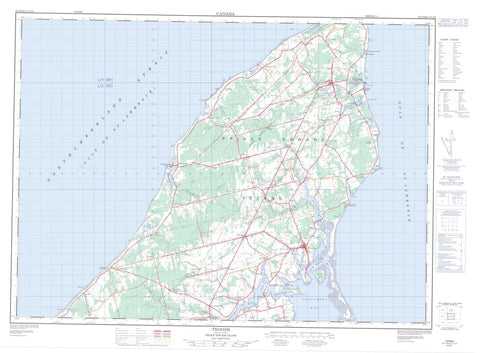
021I16 Tignish Canada topo map, 1:50,000 scale
021I16 Tignish NRCAN topographic map.
Includes UTM and GPS geographic coordinates (latitude and longitude). This 50k scale map is suitable for hiking, camping, and exploring, or you could frame it as a wall map.
Printed on-demand using high resolution, on heavy weight and acid free paper, or as an upgrade on a variety of synthetic materials.
Topos available on paper, Waterproof, Poly, or Tyvek. Usually shipping rolled, unless combined with other folded maps in one order.
- Product Number: NRCAN-021I16
- Parent Topo: TOPO-021I
- Map ID also known as: 021I16, 21I16
- Unfolded Size: Approximately 26" high by 36" wide
- Weight (paper map): ca. 55 grams
- Map Type: POD NRCAN Topographic Map
- Map Scale: 1:50,000
- Geographical region: Prince Edward Island, Canada
Neighboring Maps:
All neighboring Canadian topo maps are available for sale online at 1:50,000 scale.
Purchase the smaller scale map covering this area: Topo-021I
Spatial coverage:
Topo map sheet 021I16 Tignish covers the following places:
- Alberton Creek - Alberton Harbour - Ashleys Creek - Cascumpec Bay - Cascumpeque Bay - Cascumpeque Harbour - Dock Creek - Dock Creek - Fortune Cove - Golfe du Saint-Laurent - Goose Harbour - Gulf of St. Lawrence - Miminegash Harbour - Tignish Harbour - Whites Cove - Wrights Cove - Bury Head - Cape Gage - Cascumpeque Point - Creek Point - Fox Point - Green Point - Hill Point - Horse Head - Judes Point - Keefes Point - Kildare Point - Nail Head - Détroit de Northumberland - Miminegash Run - Northumberland Strait - The Gap - Lot 1 - Lot 2 - Lot 3 - Lot 4 - Lot 5 - Lot 7 - Prince - Elizabeth Island - Fox Island - Oultons Island - Pitt Island - Prince Edward Island - Ram Island - Sandy Island - Savage Island - Arsenaults Pond - Arsenaults Pond - Black Pond - Blanchards Pond - Doyles Pond - Foleys Pond - Frog Pond - Gordons Pond - Johnstons Pond - Little Miminegash Pond - MacAuslands Pond - Marchbanks Pond - Miminegash Pond - Nail Pond - Rayners Pond - Rix Pond - Skinner Pond - Skinners Pond - Cascumpec Sand Hills - Jacques Cartier Provincial Park - Mill River Provincial Park - Île-du-Prince-Édouard - Prince Edward Island - Bain Creek - Bains Creek - Black Pond Brook - Cains Brook - Campbells Creek - Daltons Brook - Dock River - Dock River - Harpers Brook - Hill River - Hills River - Huntley River - Kildare Creek - Kildare River - Little Tignish River - Long Creek - Meggisons Creek - Mill River - Miminegash River - Montrose River - Peters Creek - Petes Creek - Pig Brook - Tignish River - West Lake Creek - Doyles Bridge - Getson Bridge - Miminegash Reef - Alberton - Alberton South - Alma - Ascension - Bloomfield - Bloomfield Corner - Bloomfield Station - Bloomfield Station - Brockton - Brooklyn - Burton - Campbellton - Cascumpec - Cascumpeque - Central Kildare - Christopher Cross - De Blois - DeBlois - Dock Corner - Ebbsfleet - Elmsdale - Fortune Cove - Glengarry - Greenmount - Harper - Harpers - Huntley - Judes Point - Kildare - Lauretta - Leoville - Lot 6 - Mill River East - Miminegash - Montrose - Nail Pond - Northport - Norway - Norway - O'Brien Road - Palmer Road - Peterville - Piusville - Pleasant View - Profits Corner - Rosebank - Roseville - Skinner Pond - Skinners Pond - South Kildare - St. Edward - St. Felix - St. Lawrence - St. Peter and St. Paul - St. Roch - Tignish - Tignish Corner - Waterford - Woodvale - Greenmount-Montrose - Miminegash - Nail Pond - Northport - St. Felix - St. Louis - Tignish - Tignish Shore


