
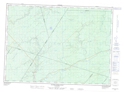
021I05 Salmon River Road Canada topo map, 1:50,000 scale
021I05 Salmon River Road NRCAN topographic map.
Includes UTM and GPS geographic coordinates (latitude and longitude). This 50k scale map is suitable for hiking, camping, and exploring, or you could frame it as a wall map.
Printed on-demand using high resolution, on heavy weight and acid free paper, or as an upgrade on a variety of synthetic materials.
Topos available on paper, Waterproof, Poly, or Tyvek. Usually shipping rolled, unless combined with other folded maps in one order.
- Product Number: NRCAN-021I05
- Parent Topo: TOPO-021I
- Map ID also known as: 021I05, 21I5, 21I05
- Unfolded Size: Approximately 26" high by 36" wide
- Weight (paper map): ca. 55 grams
- Map Type: POD NRCAN Topographic Map
- Map Scale: 1:50,000
- Geographical region: New Brunswick, Canada
Neighboring Maps:
All neighboring Canadian topo maps are available for sale online at 1:50,000 scale.
Purchase the smaller scale map covering this area: Topo-021I
Spatial coverage:
Topo map sheet 021I05 Salmon River Road covers the following places:
- Blackville - Blissfield - Brunswick - Chipman - Harcourt - Huskisson - Maugerville - Northfield - Northumberland - Queens - Sunbury - Waterborough - Barney Campbell Island - Jehu Lake - Lac Séparé - Meadow Brook Lake - Spectacle Lake - Trout Brook Lake - Black Rapids - Campbell Rapids - Cochrane Rapids - Lake Stream Rapids - Mill Rapids - Alagash Brook - Alagash Brook - Alder Brook - Bear Brook - Beaver Brook - Bergin Ridge Brook - Big Forks Brook - Big Forks Stream - Burnt Camp Brook - Cains River - Campbell Brook - Castaway Brook - Castaway Stream - Cherry Brook - Coac Brook - Cochrane Brook - Cold Brook - Coy Brook - Coy Brook - Cullion Brook - Doherty Brook - Duffy Brook - East Branch Coy Brook - East Branch Little Forks Stream - East Branch Six Mile Brook - East Coy Brook - East Little Forks Brook - East Sixmile Brook - Friel Brook - Fulton Brook - Gaspereau River - Glen Branch - Grey Brook - Hamilton Brook - Horseshoe Brook - Jehu Brook - Joe Wray Brook - Lake Stream - Lamb Brook - Little Forks Brook - Little Forks Brook - Little Forks Stream - Mahoney Brook - McAllister Brook - McAllister Brook - McGinley Brook - McKean Brook - McLeod Brook - Meadow Brook - Mosquito Brook - Mountain Brook - Mountain Brook - Mountain Brook - Nelson Brook - Nelson Brook - Nevers Brook - North Branch Castaway Stream - North Branch Coal Creek - Perley Brook - Pleasant Brook - Ryan Brook - Salmon River - Second Branch - Sinclair Brook - Sisson Brook - Six Mile Brook - Southeast Branch Six Mile Brook - Sutherland Brook - Ten Mile Brook - Tenmile Brook - Trout Brook - Trout Hole Brook - West Branch Coy Brook - West Branch Little Forks Stream - West Branch Sabbies River - West Branch Six Mile Brook - West Sabbies Brook - West Sabbies River - White Brook - Castaway - Lake Stream - Little Forks - Upper Gaspereau - Ackerman Heath - Alagash Heath - Mountain Brook Heath - Six Mile Heath


