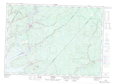
021I04 Chipman Canada topo map, 1:50,000 scale
021I04 Chipman NRCAN topographic map.
Includes UTM and GPS geographic coordinates (latitude and longitude). This 50k scale map is suitable for hiking, camping, and exploring, or you could frame it as a wall map.
Printed on-demand using high resolution, on heavy weight and acid free paper, or as an upgrade on a variety of synthetic materials.
Topos available on paper, Waterproof, Poly, or Tyvek. Usually shipping rolled, unless combined with other folded maps in one order.
- Product Number: NRCAN-021I04
- Parent Topo: TOPO-021I
- Map ID also known as: 021I04, 21I4, 21I04
- Unfolded Size: Approximately 26" high by 36" wide
- Weight (paper map): ca. 55 grams
- Map Type: POD NRCAN Topographic Map
- Map Scale: 1:50,000
- Geographical region: New Brunswick, Canada
Neighboring Maps:
All neighboring Canadian topo maps are available for sale online at 1:50,000 scale.
Purchase the smaller scale map covering this area: Topo-021I
Spatial coverage:
Topo map sheet 021I04 Chipman covers the following places:
- Baird Cove - Bairds Cove - Barton Cove - Cumberland Bay - Iron Bound Cove - Mistake Cove - Newcastle Bay - Northeast Arm - Salmon Bay - Bailey Point - Barton Point - Cox Point - Cox Point East - Hawkes Point - Indian Point - Lead Island (Indian) Point - Mistake Point - Moray Point - Robinson Point - Back Channel - Brunswick - Canning - Chipman - Johnston - Northfield - Queens - Sunbury - Waterborough - Barton Island - Curley Island - Curly Island - Long Island - Barton Lake - Cameron Lake - Cranberry Lake - Grand Lake - Highwall Pond - McLean Lake - Parks Lake - Scottie Pond - Sherry Pond - Whistler Pond - McAllister Wharf - Cumberland Bay Hill - Cumberland Hill - Pangburn Ridge - Wanamaker Ridge - Bairds Brook - Black Water Brook - Buckley Brook - Campbell Brook - Canaan River - Chase Brook - Clark Brook - Coal Creek - Coy Brook - Coy Brook - Coy Brook - Cranberry Lake Stream - Cumberland Bay Stream - Cumberland Creek - Doherty Brook - Doherty Creek - Dorsey Brook - Foley Meadow Brook - Forks Stream - Gaspereau River - Hector Brook - Henderson Brook - Hutchinson Brook - Iron Bound Cove Stream - Larry Brook - Lawson Brook - Leckey Brook - Long Creek - Luckis Brook - McIntyre Brook - McKinney Brook - Meadow Brook - Miller Brook - Mistake Brook - Mowatt Brook - Newcastle Creek - No Mans Friend Brook - North Branch Coal Creek - North Coal Creek - North Forks Stream - Otter Brook - Perley Brook - Perry Brook - Redbank Creek - Riders (Miller) Brook - Salmon Creek - Salmon River - Shad Brook - Sisson Brook - Skunk Castle Brook - Solomon Brook - South Branch Coal Creek - South Coal Creek - Spring Brook - Stratton Brook - Three Mile Brook - Trout Brook - Vance Brook - Wasson Brook - Watts Brook - West Branch Coy Brook - Wilson Brook - Davis Turn - Round Turns - Smith Turn - O'Leary Ferry - McLure Shoal - Briggs Corner - Bronson - Bronson Settlement - Camp Wegesegum - Canaan Forks - Cherryvale - Coal Creek - Coal Mines - Cox Point - Cumberland Bay - Cumberland Bay Station - Dufferin - Forks - Forks Stream - Fowlers Corner - Gaspereau Forks - Grant Settlement - Granville - Harley Road - Humphrey Corner - Hunters Home - Iron Bound Cove - Kings Mines - Kingscroft - Lower Salmon Creek - Midland - Newcastle Centre - North Forks - Pangburn - Pennlyn - Redbank - Salmon Creek - The Range - The Range - The Ridge - Upper Salmon Creek - Vance Landing - Wiggins - Chipman


