
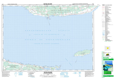
011E15 Pictou Island Canada topo map, 1:50,000 scale
011E15 Pictou Island NRCAN topographic map.
Includes UTM and GPS geographic coordinates (latitude and longitude). This 50k scale map is suitable for hiking, camping, and exploring, or you could frame it as a wall map.
Printed on-demand using high resolution, on heavy weight and acid free paper, or as an upgrade on a variety of synthetic materials.
Topos available on paper, Waterproof, Poly, or Tyvek. Usually shipping rolled, unless combined with other folded maps in one order.
- Product Number: NRCAN-011E15
- Parent Topo: TOPO-011E
- Map ID also known as: 011E15, 11E15
- Unfolded Size: Approximately 26" high by 36" wide
- Weight (paper map): ca. 55 grams
- Map Type: POD NRCAN Topographic Map
- Map Scale: 1:50,000
- Geographical region: Nova Scotia, Canada
Neighboring Maps:
All neighboring Canadian topo maps are available for sale online at 1:50,000 scale.
Purchase the smaller scale map covering this area: Topo-011E
Spatial coverage:
Topo map sheet 011E15 Pictou Island covers the following places:
- Baillies Cove - Blues Creek - Caribou Harbour - Golfe du Saint-Laurent - Golfe du Saint-Laurent - Guernsey Cove - Gulf of St. Lawrence - Gulf of St. Lawrence - Hansons Cove - John Dans Cove - MacDonalds Cove - MacKinnons Cove - Victoria Harbour - Wood Islands Harbour - Gordons Beach - Barebank Point - Bell Point - Black Point - Caribou Point - East End - Ernies Point - Grants Point - Gull Point - Gull Spit - Gully Head - Hawksbill Point - Horn Point - Hornes Point - Johnsons Point - Little Point - Little Sands - MacCarthys Point - MacKenzies Point - MacMasters Point - Macquarrie Point - Nicholas Point - Nicholson Point - Roddys Point - Roger Point - Sams Point - Seal Point - Stewart Point - Stuart Point - West End - West Point - Big Caribou Entrance - Caribou Channel - Caribou West Gully - Détroit de Northumberland - Détroit de Northumberland - Northumberland Strait - Northumberland Strait - Kings - Lot 62 - Lot 64 - Pictou - Queens - Bellows Island - Caribou Island - Gull Island - Pictou Island - Prince Edward Island - Ram Island - Wood Islands - Black Lake - Leech Pond - Pictou - Northumberland Provincial Park - Waterside Beach Provincial Park - Wood Islands Provincial Park - Île-du-Prince-Édouard - Nouvelle-Écosse - Nova Scotia - Prince Edward Island - Belle River - Big Caribou River - Bone Creek - Campbells Brook - Caribou River - Dixon Creek - Dixons Creek - Kirks Brook - MacPhersons Creek - McPhersons Creek - South River - Toney River - West Toney River - Bell Point Reef - Caribou Reef - East End Reef - Gull Rock - Indian Rocks - Johnsons Shoal - McAulays Reef - Middle Grounds - Middle Shoals - Northwest Bank - Otter Banks - Pictou Banks - Rifleman Reef - Sutherlands Shoal - Abney - Belle Creek - Belle River - Cape John - Caribou Island - Caribou River - Guernsey - Guernsey Cove - Hedgeville - High Bank - Hopefield - Little Sands - MacKays Corner - Pictou Island - Port Wood - Seafoam - Toney Mills - Toney River - Waterside - White Sands - Wood Island - Wood Islands - Wood Islands East - Wood Islands North - Wood Islands West - Black Marsh - Belfast - Murray Harbour


