
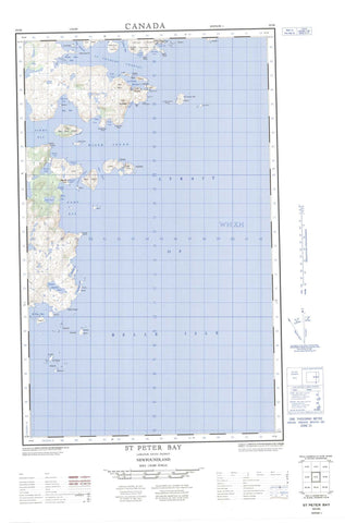
003D04E St Peter Bay Canada topo map, 1:50,000 scale
003D04E St Peter Bay NRCAN topographic map.
Includes UTM and GPS geographic coordinates (latitude and longitude). This 50k scale map is suitable for hiking, camping, and exploring, or you could frame it as a wall map.
Printed on-demand using high resolution, on heavy weight and acid free paper, or as an upgrade on a variety of synthetic materials.
Topos available on paper, Waterproof, Poly, or Tyvek. Usually shipping rolled, unless combined with other folded maps in one order.
- Halfsheet: This map was designed as a half sheet of NRCAN-003D04, and it is the Eastern half. Find the western half sheet here.
- Product Number: NRCAN-003D04E
- Parent Topo: TOPO-003D
- Map ID also known as: 003D04, 03D4, 3D4, 03D04, 3D04
- Unfolded Size: Approximately 26" high by 36" wide
- Weight (paper map): ca. 55 grams
- Map Type: POD NRCAN Topographic Map
- Map Scale: 1:50,000
- Geographical region: Newfoundland and Labrador, Canada
Neighboring Maps:
All neighboring Canadian topo maps are available for sale online at 1:50,000 scale.
Purchase the smaller scale map covering this area: Topo-003D
Spatial coverage:
Topo map sheet 003D04E St Peter Bay covers the following places:
- Ant Hill Cove - Antelope Harbour - Antill Cove - Bad Bay - Camp Bay - Carrolls Cove - Cowhouse Cove - Dudee Cove - False Harbour - Frog Cove - Hauling Cove - Horn Bay - Islet Bay - Kennedy Bight - Niger Sound - Northeast Arm - Northwest Arm - Pitts Harbour - Pleasure Harbour - Schooner Cove - Shapes Harbour - Shoal Cove - Shoal Rock Cove - Simms Bay - Soldier Cove - South Pommelly Cove - Southwest Pond Cove - Spout Cove - St. Charles Harbour - St. Peter Bay - Temple Bay - The Lodge - Trouty Cove - White Bear Bay - Yankee Cove - Barrier Point - Black Head - Cape St. Charles - Elijah Point - Frog Cove Point - Grenville Point - Kennedy Head - Long Point - Loran Point - Ragged Point - Red Point - Rock Point - Salt Brook Point - Sandwich Point - Shoal Cove Point - Shoal Point - St. Peter Head - Symonds Head - Table Head - White Bear Point - White Point - Antelope Tickle - Caribou Run - Chimney Tickle - Détroit de Belle Isle - Long Island Tickle - Main Tickle - St. Charles Channel - Strait of Belle Isle - The Narrows - The Narrows - Battle Islands - Big Duck Island - Black Island - Camp Islands - Deer Island - Double Island - Double Island - Duck Island - Dumpling Island - Eastern Island - Flat Island - Fox Island - Fox Island - Goat Island - Great Caribou Island - Hare Island - Henley Island - Higgins Island - Little Duck Island - Muddle Island - Paddy Bonds Island - Peterel Islands - Red Island - Sandy Island - Seal Islands - Seal Islands - St. Charles Gull Island - St. Peter Islands - Tilcey Island - Truck Island - Wall Island - Western Island - Barry Barnes Pond - Beaver Pond - Big Rabbit Pond - Black Hill Pond - Coopers Pond - Deer Pond - Deer Pond - Eddies Pond - First Deer Pond - Little Rabbit Pond - Lodge Pond - Outside Beaver Pond - Pea Soup Pond - Pins Pond - Pleasure Harbour Pond - Rabbit Ponds - Second Deer Pond - Sound Pond - Southwest Pond - Southwest Pond - St. Peters Gully - St. Peters Pond - Yankee Pond - Ant Hill - Beacon Hill - Northwest Hill - Pitts Hill - Rabbit Ponds Hills - Saunders Knob - Souther Hill - St. Peters Hills - The Soldier - Sound Brook - St. Charles River - St. Peters River - Temple Brook - Yankee Brook - Labrador Sea - Mer du Labrador - Allen Shoal - Coles Bank - Duck Island Bank - Fish Rock - Fish Rock - Henny Bank - Indian Rocks - Inner Shoal - Kerry Ground - King Rocks - Middle Shoal - Morgan Shoal - Pound Rocks - Red Island Bank - Romsey Rock - Shoal Ground - St. Charles Gull Rocks - The Horns - Wall Shoal - Wells Rock - Western Bank - Camp Bay - Cape Charles - Carrolls Cove - Chimney Tickle - Lodge - Lodge Bay - Loran - Pitts Harbour


