
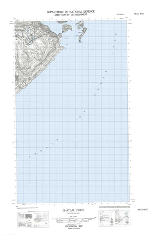
002M13W Chateau Point Canada topo map, 1:50,000 scale
002M13W Chateau Point NRCAN topographic map.
Includes UTM and GPS geographic coordinates (latitude and longitude). This 50k scale map is suitable for hiking, camping, and exploring, or you could frame it as a wall map.
Printed on-demand using high resolution, on heavy weight and acid free paper, or as an upgrade on a variety of synthetic materials.
Topos available on paper, Waterproof, Poly, or Tyvek. Usually shipping rolled, unless combined with other folded maps in one order.
- Halfsheet: This map was designed as a half sheet of NRCAN-002M13, and it is the Western half. Find the eastern half sheet here.
- Product Number: NRCAN-002M13W
- Parent Topo: TOPO-002M
- Map ID also known as: 002M13, 02M13, 2M13
- Unfolded Size: Approximately 26" high by 36" wide
- Weight (paper map): ca. 55 grams
- Map Type: POD NRCAN Topographic Map
- Map Scale: 1:50,000
- Geographical region: Newfoundland and Labrador, Canada
Neighboring Maps:
All neighboring Canadian topo maps are available for sale online at 1:50,000 scale.
Purchase the smaller scale map covering this area: Topo-002M
Spatial coverage:
Topo map sheet 002M13W Chateau Point covers the following places:
- Antelope Harbour - Chateau Bay - Henley Harbour - Pitts Harbour - Ship Cove - Temple Bay - Black Point - Chateau Point - Pitts Point - Pullman Head - York Point - American Tickle - Détroit de Belle Isle - Milners Tickle - Temple Pass - Castle Island - Flat Island - Henley Island - Seal Islands - Stage Islet - Whale Island - High Beacon Hill - American Shoal - Black Rock - Fairway Bank - Flat Island Rock - Freezers Rock - Halfway Rock - Henney Shoal - Man of War Rock - Twelve Feet Rock - Chateau - Henley Harbour - Rocketts Cove


