
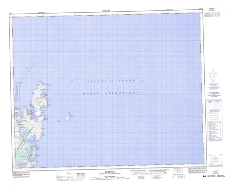
002M11 Quirpon Canada topo map, 1:50,000 scale
002M11 Quirpon NRCAN topographic map.
Includes UTM and GPS geographic coordinates (latitude and longitude). This 50k scale map is suitable for hiking, camping, and exploring, or you could frame it as a wall map.
Printed on-demand using high resolution, on heavy weight and acid free paper, or as an upgrade on a variety of synthetic materials.
Topos available on paper, Waterproof, Poly, or Tyvek. Usually shipping rolled, unless combined with other folded maps in one order.
- Product Number: NRCAN-002M11
- Parent Topo: TOPO-002M
- Map ID also known as: 002M11, 02M11, 2M11
- Unfolded Size: Approximately 26" high by 36" wide
- Weight (paper map): ca. 55 grams
- Map Type: POD NRCAN Topographic Map
- Map Scale: 1:50,000
- Geographical region: Newfoundland and Labrador, Canada
Neighboring Maps:
All neighboring Canadian topo maps are available for sale online at 1:50,000 scale.
Purchase the smaller scale map covering this area: Topo-002M
Spatial coverage:
Topo map sheet 002M11 Quirpon covers the following places:
- Camel Island Harbour - Capelanier Bay - Clous Cove - Clue Cove - Cod Cove - Colombier Cove - Dégrat Harbour - Garden Cove - Garden Cove - Good Cove - Grand Cove - Grand Galets Bay - Grapnel Cove - Grassy Cove - Great Cove - Griquet Harbour - Jacques Cartier Road - La Reine Cove - Lancy Ball Bay - Lighthouse Cove - Little Quirpon Harbour - Noble Cove - Noddy Bay - North Bay - Northwest Bay - Orleans Cove - Pigeon Cove - Quirpon Harbour - Ron Galets Bay - Southwest Bay - Trinity Bight - White Cape Harbour - Wood Bay - Alun Point - Bay Point - Breaker Point - Broize Point - Cape Bauld - Cape Dégrat - Cape Mauve - Cape Noir - Cape Raven - Cobbler Point - Cod Cove Point - Colombia Point - Cove Point - Dumenil Point - Galets Head - Grand Galets Point - Green Point - Herbert Point - Lancy Ball Point - Noble Point - Noddy Bay Head - Noddy Point - Northern Peninsula - Orleans Point - Partridge Point - Point Vert - Ron Galets Head - Sealet Head - Split Point - Storm Cape - Tempest Point - Whale Point - White Cape - White Point - Wild Cove Point - Détroit de Belle Isle - Sheep Channel - Strait of Belle Isle - Big Cobbler Island - Black Island - Camel Island - Crab Island - Dégrat Island - Foirou Island - Four Ears Island - Grandmother Island - Griquet Island - Jacques Cartier Island - Little Cobbler Island - Merchant Island - Nobles Island - Prune Island - Quirpon Island - Salt Island - Sheep Island - Ship Island - The Islets - Vincent Island - White Islands - Crow Head - Hump Hill - Morne Fontan - Morne Fontan Hill - Round Hill - Baleine Rock - Barrack Rocks - Barracks Rocks - Butterpot Rock - Canias Rock - Corco Bank - Lancy Pigeon - Lancy Pigeon Bank - League Rock - Madeleine Shoal - Maria Reefs - Peaked Rock - Salmon Rock - Sheep Bank - Ship Island Bank - Whale Back - White Rocks - St. Lunaire-Griquet - Griquet - Gunners Cove - Hay Cove - Little Quirpon - Noddy Bay - Quirpon - Spillards Cove - Spillars Cove - St. Lunaire - Straitsview - Straitsview - Deep Gulch


