
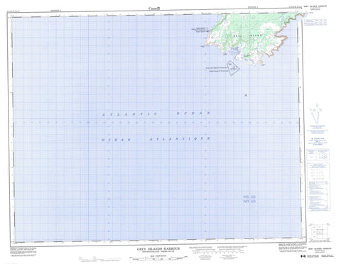
002L12 Grey Islands Harbour Canada topo map, 1:50,000 scale
002L12 Grey Islands Harbour NRCAN topographic map.
Includes UTM and GPS geographic coordinates (latitude and longitude). This 50k scale map is suitable for hiking, camping, and exploring, or you could frame it as a wall map.
Printed on-demand using high resolution, on heavy weight and acid free paper, or as an upgrade on a variety of synthetic materials.
Topos available on paper, Waterproof, Poly, or Tyvek. Usually shipping rolled, unless combined with other folded maps in one order.
- Product Number: NRCAN-002L12
- Parent Topo: TOPO-002L
- Map ID also known as: 002L12, 02L12, 2L12
- Unfolded Size: Approximately 26" high by 36" wide
- Weight (paper map): ca. 55 grams
- Map Type: POD NRCAN Topographic Map
- Map Scale: 1:50,000
- Geographical region: Newfoundland and Labrador, Canada
Neighboring Maps:
All neighboring Canadian topo maps are available for sale online at 1:50,000 scale.
Purchase the smaller scale map covering this area: Topo-002L
Spatial coverage:
Topo map sheet 002L12 Grey Islands Harbour covers the following places:
- Grey Islands Harbour - Rocky Bay - Keefes Point - Northwest Point - Bell Island - Black Island - Ile aux Canes - Nid Island - Red Island - Shepherd Island - Île aux Canes Migratory Bird Sanctuary - Refuge d'oiseaux de l'île aux Canes - Refuge d'oiseaux de Shepherd Island - Shepherd Island Migratory Bird Sanctuary - Bara Rock - Boulonnaise Rock - Petra Rock - Pinnacle Rock - Ramet Rock - Red Rock - Shepherd Island Rock - Grey Islands Harbour - Groais Island


