
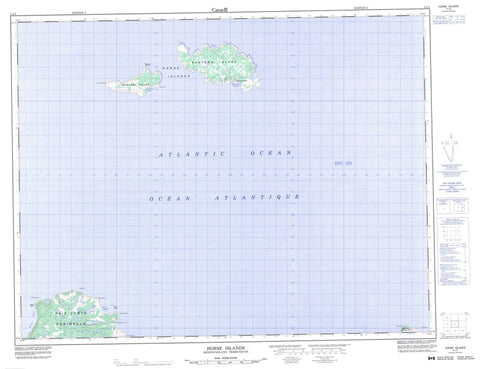
002L04 Horse Islands Canada topo map, 1:50,000 scale
002L04 Horse Islands NRCAN topographic map.
Includes UTM and GPS geographic coordinates (latitude and longitude). This 50k scale map is suitable for hiking, camping, and exploring, or you could frame it as a wall map.
Printed on-demand using high resolution, on heavy weight and acid free paper, or as an upgrade on a variety of synthetic materials.
Topos available on paper, Waterproof, Poly, or Tyvek. Usually shipping rolled, unless combined with other folded maps in one order.
- Product Number: NRCAN-002L04
- Parent Topo: TOPO-002L
- Map ID also known as: 002L04, 02L4, 2L4, 02L04, 2L04
- Unfolded Size: Approximately 26" high by 36" wide
- Weight (paper map): ca. 55 grams
- Map Type: POD NRCAN Topographic Map
- Map Scale: 1:50,000
- Geographical region: Newfoundland and Labrador, Canada
Neighboring Maps:
All neighboring Canadian topo maps are available for sale online at 1:50,000 scale.
Purchase the smaller scale map covering this area: Topo-002L
Spatial coverage:
Topo map sheet 002L04 Horse Islands covers the following places:
- Grand Cove - Hardy Harbour - Horse Island Harbour - Little Pacquet - Ming's Bight - Pinneys Bight - Teakettle Cove - Baie Verte Peninsula - Burn Point - Cape Corbin - Cape Hat - Cape St. John - Cape St. Martin - Funnel Point - Grappling Point - Hit or Miss Point - North Bill - Bois Island - Eastern Island - Horse Islands - Pines Islet - Western Island - Nervous Rocks - Horse Islands


