
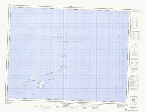
002F12 Wadham Islands Canada topo map, 1:50,000 scale
002F12 Wadham Islands NRCAN topographic map.
Includes UTM and GPS geographic coordinates (latitude and longitude). This 50k scale map is suitable for hiking, camping, and exploring, or you could frame it as a wall map.
Printed on-demand using high resolution, on heavy weight and acid free paper, or as an upgrade on a variety of synthetic materials.
Topos available on paper, Waterproof, Poly, or Tyvek. Usually shipping rolled, unless combined with other folded maps in one order.
- Product Number: NRCAN-002F12
- Parent Topo: TOPO-002F
- Map ID also known as: 002F12, 02F12, 2F12
- Unfolded Size: Approximately 26" high by 36" wide
- Weight (paper map): ca. 55 grams
- Map Type: POD NRCAN Topographic Map
- Map Scale: 1:50,000
- Geographical region: Newfoundland and Labrador, Canada
Neighboring Maps:
All neighboring Canadian topo maps are available for sale online at 1:50,000 scale.
Purchase the smaller scale map covering this area: Topo-002F
Spatial coverage:
Topo map sheet 002F12 Wadham Islands covers the following places:
- Abbotts Cove - Anchor Cove - Caplin Cove - Collins Cove - Copper Island Harbour - Cuffs Cove - Duck Island Harbour - Frenchman Gulch - Guys Gulch - Herring Gulch - Hicks Cove - James Island Harbour - Japhets Cove - Mouland Cove - Northeast Cove - Rocky Cove - The Bight - Bird Point - Cape Fogo - Caplin Point - Collins Head - Collins Point - Dunns Point - East'ard Head - Hicks Point - Japhets Point - South Head - Southwest Point - Southwest Point - Southwest Point - Tom Cod Head - Turr Point - White Point - East'ard Tickle - Pigeon Island Tickle - Westward Tickle - Bugden Island - Coleman Island - Copper Island - Duck Island - Flat Island - Fogo Island - Green Island - James Island - Murr Island - Offer Wadham Island - Peckford Island - Pigeon Island - Scrub Island - Shag Island - Small Island - Wadham Islands - White Island - Goose Pond - Abbot Rock - Canning Rock - Clam Rock - Duck Rock - Duck Rocks - East Rock - East Southeast Ground - Fanos Rock - George Greys Grave - Gull Rocks - Harbour Rocks - Horse Rocks - Peckford Reef - Pigeon Rock - Pinnacle Rock - Rods Rock - Schoolroom Rock - Scrub Rock - South Southwest Rock - Tom Cod Rock - White Clam Rock


