
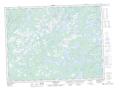
002E01 Weir s Pond Canada topo map, 1:50,000 scale
002E01 Weir s Pond NRCAN topographic map.
Includes UTM and GPS geographic coordinates (latitude and longitude). This 50k scale map is suitable for hiking, camping, and exploring, or you could frame it as a wall map.
Printed on-demand using high resolution, on heavy weight and acid free paper, or as an upgrade on a variety of synthetic materials.
Topos available on paper, Waterproof, Poly, or Tyvek. Usually shipping rolled, unless combined with other folded maps in one order.
- Product Number: NRCAN-002E01
- Parent Topo: TOPO-002E
- Map ID also known as: 002E01, 02E1, 2E1, 02E01, 2E01
- Unfolded Size: Approximately 26" high by 36" wide
- Weight (paper map): ca. 55 grams
- Map Type: POD NRCAN Topographic Map
- Map Scale: 1:50,000
- Geographical region: Newfoundland and Labrador, Canada
Neighboring Maps:
All neighboring Canadian topo maps are available for sale online at 1:50,000 scale.
Purchase the smaller scale map covering this area: Topo-002E
Spatial coverage:
Topo map sheet 002E01 Weir s Pond covers the following places:
- First Pond Bar - ADM Island - Gartue Island - Alder Pond - Alleys Pond - Anchor Pond - Arrow Head Pond - Back-up Pond - Balls Pond - Beaver Pond - Beaver Ponds - Big Bear Cave Pond - Big Bear Cove Pond - Big Island Pond - Big Northwest Pond - Big Slaughter Pond - Big Tilt Pond - Boot Pond - Camp Pond - Camp Pond - Charlies Raft Pond - Dog Pond - Dog Pond Steadies - Eleven Mile Pond - Eleven Mile Steadies - Fifth Pond - Five Island Pond - Fools Pond - Forked Pond - Forkey Pond - Four Mile Pond - Fourth Pond - Fourth Pond - Fourth Pond Northwest - Geralds Pond - Goose Pond - Goose Ponds - Guards Pond - Halfmoon Pond - Harvey Pond - Herring Scale Pond - Home Pond - Horseshoe Ponds - Hungry Pond - Indian Bay Big Pond - Indian Bay Pond - Island Pond - Jims Steady - Jonathan's Pond - Little Bear Cave Pond - Little Bear Cove Pond - Little Island Pond - Little Ocean Pond - Little Ocean Pond - Little Tabbs Pond - Little Wing Pond - Long Pond - Lushs Pond - Moccasin Pond - Muddy Gullies - Nine Mile Pond - Nine Mile Steadies - Number Two Pond - Ocean Pond - Phils Steady - Pine Pond - Powder and Shot Pond - Queens Pond - Rocky Pond - Rocky Tilt Pond - Rum Pond - Second Double Pond - Seven-Mile Pond - Seventh Pond - Shadow Pond - Shoe Pond - Sixth Pond - Sixth Pond - Skippers Pond - Slaughter Pond - Southern Pond - Southwest Pond - Stuckeys Pond - Tabbs Pond - Ten Mile Pond - Third Northwest Pond - Third Pond - Thompsons Pond - Three Corner Pond - Three Legged Beaver Pond - Traverse Waters - Twelve Mile Pond - Twenty-Eight Pond - Weir's Pond - Wester Pond - Whitney Pond - Wing Pond - Anchor Pond Lookout - Burnt Hills - The Tolt - Thirty-Three Ridge - Weirs Hill - Wings Tower - First Rattle - Alder Brook - Alleys Brook - Anchor Brook - Dog Pond Brook - Easter Feeder - Eleven Mile Brook - Gander River - Inside Muddy Gully - Joes Feeder - Jonathan's Brook - Muddy Gully Brook - Northwest River - Number Two River - Third Brook - Traverse Brook - Weir's Brook - Wester Brook - Wester Feeder - Wing Brook - Sunshine Pool - Abel Tucks Bog - Alder Brook Marsh - Blakes Marsh - Bobcat Marsh - Brinsons Marsh - Burseys Marsh - Dead Deer Marsh - Divide Marsh - Eleven Mile Marsh - Firey Marshes - Island Pond Bog - Lookout Marshes - Nine Mile Marshes - Seven Mile Bogs - The Cow Marshes


