
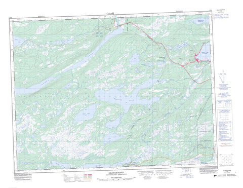
002D09 Glovertown Canada topo map, 1:50,000 scale
002D09 Glovertown NRCAN topographic map.
Includes UTM and GPS geographic coordinates (latitude and longitude). This 50k scale map is suitable for hiking, camping, and exploring, or you could frame it as a wall map.
Printed on-demand using high resolution, on heavy weight and acid free paper, or as an upgrade on a variety of synthetic materials.
Topos available on paper, Waterproof, Poly, or Tyvek. Usually shipping rolled, unless combined with other folded maps in one order.
- Product Number: NRCAN-002D09
- Parent Topo: TOPO-002D
- Map ID also known as: 002D09, 02D9, 2D9, 02D09, 2D09
- Unfolded Size: Approximately 26" high by 36" wide
- Weight (paper map): ca. 55 grams
- Map Type: POD NRCAN Topographic Map
- Map Scale: 1:50,000
- Geographical region: Newfoundland and Labrador, Canada
Neighboring Maps:
All neighboring Canadian topo maps are available for sale online at 1:50,000 scale.
Purchase the smaller scale map covering this area: Topo-002D
Spatial coverage:
Topo map sheet 002D09 Glovertown covers the following places:
- Adams Angle - Alexander Bay - Barred Island Cove - Middle Arm - Millers Angle - Northwest Arm - Skiffingtons Cove - Strouds Cove - Barred Island Point - Bill Dicks Head - Green Point - Steins Point - Strouds Point - The Narrows - Big Falls - Grant Falls - Barred Island - Salmon Island - Woody Island - Beaver Pond - Blackwood Steady - Boatswains (First) Pond - Boatswains (Second) Pond - Briffetts Pond - Brookings Pond - Cashins Pond - Chain Pond - Charlie Chaulk's Pond - Duck Pond - Eastmans Pond - First Pond - Fords Pond - Fords Pond - Fourth Pond - Gambo Pond - Garlands Pond - Georges Pond - Gull Pond - Gull Pond - LeDrews Pond - Little Gull Pond - Little Northwest Pond - Little Stag Pond - Long Pond - Long Pond - Maccles Lake - Masons Pond - Mud Pond - North Pond - Northwest Pond - Parsons Pond - Reids Pond - Rocky Pond - Rocky Pond - Saunders Pond - Second Pond - Southwest Ponds - Stag Pond - Terra Nova Lake - Third Pond - Third Pond - Tunnel Pond - Church House Hill - Gambo Ridge - North Shore Lookout - Pine Tree Hill - Saunders Cove Lookout - Skiffingtons Cove Hill - The Lookout - Tower Hill - Newfoundland T'Railway Provincial Park - Parc national du Canada Terra-Nova - Terra Nova National Park of Canada - Big Brook - Deweys Brook - FordsBrook - Gambo Brook - Georges Brook - Maccles Brook - Maccles Brook - Mint Brook - Muskrat Brook - Northwest Brook - Northwest Brook - Parsons Brook - Pitts Brook - Saunders Brook - Southwest Brook - Southwest Brook - Steers Brook - Terra Nova Brook - Terra Nova North River - Terra Nova River - Dark Cove-Middle Brook-Gambo - Gambo - Glovertown - Terra Nova - Alexander Bay - Gambo Pond - Glovertown South - Grants - Maccles - North Shore - Saunders Cove - Walsh - Parsons Valley - Gros Marsh - Saltons Marshes - Skiffingtons Cove Marsh - Strouds Bog


