
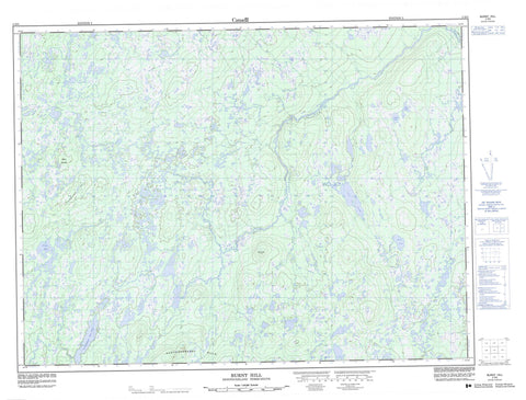
002D05 Burnt Hill Canada topo map, 1:50,000 scale
002D05 Burnt Hill NRCAN topographic map.
Includes UTM and GPS geographic coordinates (latitude and longitude). This 50k scale map is suitable for hiking, camping, and exploring, or you could frame it as a wall map.
Printed on-demand using high resolution, on heavy weight and acid free paper, or as an upgrade on a variety of synthetic materials.
Topos available on paper, Waterproof, Poly, or Tyvek. Usually shipping rolled, unless combined with other folded maps in one order.
- Product Number: NRCAN-002D05
- Parent Topo: TOPO-002D
- Map ID also known as: 002D05, 02D5, 2D5, 02D05, 2D05
- Unfolded Size: Approximately 26" high by 36" wide
- Weight (paper map): ca. 55 grams
- Map Type: POD NRCAN Topographic Map
- Map Scale: 1:50,000
- Geographical region: Newfoundland and Labrador, Canada
Neighboring Maps:
All neighboring Canadian topo maps are available for sale online at 1:50,000 scale.
Purchase the smaller scale map covering this area: Topo-002D
Spatial coverage:
Topo map sheet 002D05 Burnt Hill covers the following places:
- Bruce Pond - Burnt Hill Steady - Coy Pond - Georges Pond - Huxter Pond - Lane Pond - Newfoundland Dog Pond - Red Rocks Steady - Burnt Hill - Mount Cormack - Partridgeberry Hills - Through Hill - Cat Brook - Gardner Brook - Little Gull River - Northwest Gander River - South Great Rattling Brook - Spruce Brook - Stormy Brook


