
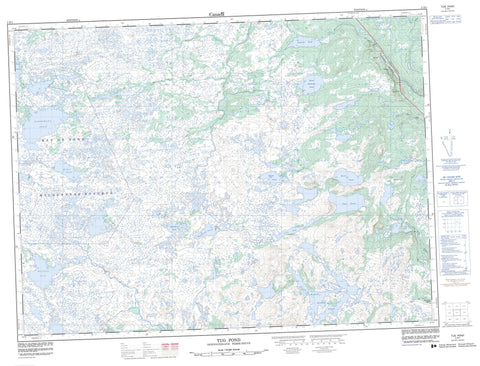
002D01 Tug Pond Canada topo map, 1:50,000 scale
002D01 Tug Pond NRCAN topographic map.
Includes UTM and GPS geographic coordinates (latitude and longitude). This 50k scale map is suitable for hiking, camping, and exploring, or you could frame it as a wall map.
Printed on-demand using high resolution, on heavy weight and acid free paper, or as an upgrade on a variety of synthetic materials.
Topos available on paper, Waterproof, Poly, or Tyvek. Usually shipping rolled, unless combined with other folded maps in one order.
- Product Number: NRCAN-002D01
- Parent Topo: TOPO-002D
- Map ID also known as: 002D01, 02D1, 2D1, 02D01, 2D01
- Unfolded Size: Approximately 26" high by 36" wide
- Weight (paper map): ca. 55 grams
- Map Type: POD NRCAN Topographic Map
- Map Scale: 1:50,000
- Geographical region: Newfoundland and Labrador, Canada
Neighboring Maps:
All neighboring Canadian topo maps are available for sale online at 1:50,000 scale.
Purchase the smaller scale map covering this area: Topo-002D
Spatial coverage:
Topo map sheet 002D01 Tug Pond covers the following places:
- Andrews Pond - Big Pond - Black River Pond - Frost Pond - Goose Pond - Hornet Pond - Island Pond - Island Pond - Lynx Pond - Maxs Pond - Middle Pond - Norsemans Pond - Ocean Pond - Red Indian Pond - Rocky Pond - Shoal Harbour Pond - Sleigh Pond - Sugar Pond - Tug Pond - Western Pond - Whitehead Pond - Bay du Nord Wilderness Reserve - Newfoundland T'Railway Provincial Park - Black Brook - Dark Hole Brook - Deep Bight River - Georges Brook - Lower Shoal Harbour River - Northwest Brook - Pipers Hole River - Red River - Shoal Harbour River - Southwest River - Clarenville - Northern Bight - Rioux


