
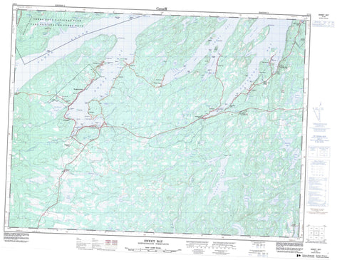
002C05 Sweet Bay Canada topo map, 1:50,000 scale
002C05 Sweet Bay NRCAN topographic map.
Includes UTM and GPS geographic coordinates (latitude and longitude). This 50k scale map is suitable for hiking, camping, and exploring, or you could frame it as a wall map.
Printed on-demand using high resolution, on heavy weight and acid free paper, or as an upgrade on a variety of synthetic materials.
Topos available on paper, Waterproof, Poly, or Tyvek. Usually shipping rolled, unless combined with other folded maps in one order.
- Product Number: NRCAN-002C05
- Parent Topo: TOPO-002C
- Map ID also known as: 002C05, 02C5, 2C5, 02C05, 2C05
- Unfolded Size: Approximately 26" high by 36" wide
- Weight (paper map): ca. 55 grams
- Map Type: POD NRCAN Topographic Map
- Map Scale: 1:50,000
- Geographical region: Newfoundland and Labrador, Canada
Neighboring Maps:
All neighboring Canadian topo maps are available for sale online at 1:50,000 scale.
Purchase the smaller scale map covering this area: Topo-002C
Spatial coverage:
Topo map sheet 002C05 Sweet Bay covers the following places:
- Back Cove - Bear Cove - Bottom Cove - Bread Cove - British Harbour - Bryans Hole - Chain Rock Cove - Clode Sound - Dicks Cove - Dumpling Cove - Goose Bay - Great Chance Harbour - Holloway Cove - Indian Arm - Kate Harbour - Keefes Cove - Landers Cove - Little Harbour - Loders Cove - Long Tom Cove - Lovers Cove - Maiden Hair Cove - Matthew Cove - Milners Cove - Mosquito Cove - Northwest Arm - Nut Cove - Perry Cove - Powers Cove - Quintons Cove - Sandy Cove - Sattlings Cove - Southern Bay - Southwest Arm - Southwest Arm - Sweet Bay - The Saltons - White Rock Cove - Blundons Point - Breen Point - Cannings Cove Head - Connecting Point - Cutwater Head - Diamonds Point - Dividing Point - Fahey Point - Frys Point - Goose Head - Green Cove Point - Honeybun Point - James Head - Lodging Point - Man Point - Nolans Point - Old Dock Point - Olfords Point - Pinchers Point - Powers Cove Point - Sandy Point - Southward Head - Stares Point - Vey Point - Weeks Point - White Point - Ashley Baker Island - Hay Island - House Island - Hunt Island - Minchin Island - Mouse Island - Platter Island - Shag Island - Wolf Island - Woody Island - Big Pond - Blue Gull Pond - Bread Cove Pond - Chatman Ponds - Cross Pond - Dalton Pond - Dam Pond - Double Pond - Frys Pond - Grassy Cove Pond - Gull Pond - Half Mile Pond - Joe Whites Pond - Johnstons Pond - Juniper Ponds - Lady Pond - Loders Pond - Long Pond - Matthews Pond - Midway Pond - Mosquito Pond - Muddy Cove Pond - Muffler Pond - Northeast Pond - Northwest Pond - Oats Pond - Ocean Pond - Ochre Hill Ponds - Popes Harbour Pond - Powells Pond - Rocky Pond - Saddle Back Pond - Saltons Pond - Saltwater Pond - Sattlings Pond - Seal Cove Pond - Spar Pond - Trinity Pond - Bread Cove Hills - Indian Lookout - Nut Hill - Ochre Pit Hill - Powder Cove Hill - Jiggin' Head Provincial Park - Parc national du Canada Terra-Nova - Rattle Falls Provincial Park - Terra Nova National Park of Canada - The Rattle - Bread Cove Brook - Dock Brook - Dungeon Brook - Grandfather Brook - Rattling Brook - Raymond Brook - Ryders Brook - Seven Pond Brook - Southeast Brook - Southern Bay River - Southwest Brook - Stag Brook - Strickland Pond Brook - Trouty River - Winter Brook - Chandler Reach - Shag Rock - Musgravetown - Bloomfield - Blundons Siding - British Harbour - Brooklyn - Cannings Cove - Charleston - Jamestown - Lethbridge - Long Beach - Morleys Siding - New Country Siding - Plate Cove West - Portland - Princeton - Southern Bay - Summerville - Summerville - Princeton - Southern Bay - Sweet Bay - Winter Brook - Canning's Cove


