
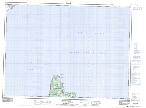
001N15 Pouch Cove Canada topo map, 1:50,000 scale
001N15 Pouch Cove NRCAN topographic map.
Includes UTM and GPS geographic coordinates (latitude and longitude). This 50k scale map is suitable for hiking, camping, and exploring, or you could frame it as a wall map.
Printed on-demand using high resolution, on heavy weight and acid free paper, or as an upgrade on a variety of synthetic materials.
Topos available on paper, Waterproof, Poly, or Tyvek. Usually shipping rolled, unless combined with other folded maps in one order.
- Product Number: NRCAN-001N15
- Parent Topo: TOPO-001N
- Map ID also known as: 001N15, 01N15, 1N15
- Unfolded Size: Approximately 26" high by 36" wide
- Weight (paper map): ca. 55 grams
- Map Type: POD NRCAN Topographic Map
- Map Scale: 1:50,000
- Geographical region: Newfoundland and Labrador, Canada
Neighboring Maps:
All neighboring Canadian topo maps are available for sale online at 1:50,000 scale.
Purchase the smaller scale map covering this area: Topo-001N
Spatial coverage:
Topo map sheet 001N15 Pouch Cove covers the following places:
- Back Cove - Bears Hole - Big Cove North - Biscayan Cove - Biscayne Bay - Black Head Cove - Champion Gulch - Chimney Gulch - Conception Bay - Cripple Cove - Cripple Cove - Fiddlers Hole - Goats Gulch - Herring Gulch - Hollow Cove - Horrid Gulch - Jacobs Cove - Lion Gulch - Longer Gulch - Morgans Gulch - Mouse Hole - Mouse Holes - Mys Gulch - Otter Gulch - Otters Gulch - Pigeons Gulch - Polly Butts Gulch - Pouch Cove - Sandy Cove - Shoe Cove - Shoe Cove Point - Square Gulch - The Pond - Anvil Head - Avalon Peninsula - Bar Point - Big Bald Head - Black Head North - Blue Madam - Bluff Head - Braggs Head - Braggs Point - Butt of Bald Head - Calves Point - Cape St. Francis - Georges Point - Gruchy Point - Jacks Point - Lewis Point - Little Bald Head - Long Point - Motor Karn - Moultons Point - Nicks Point - Schoolhouse Point - Sheppards Head - Strawberry Point - White Horse Point - White Point - White Point - Throughfare - The Scrape - Biscayan Islands - Cove Island - Pigeon Island - Shoe Cove Island - The Brandies - Biscayan Cove Gully - Island Cove Pond - Long Pond - Old Pond - Pouch Cove Northeast Pond - Pouch Cove Northwest Pond - Robinson Gully - Trout Gully - Trout Pond - Black Head - Marine Drive Provincial Park - Freshwater Brook - Northeast Brook - Patch Brook - Pouch Cove Brook - Robinsons River - Shoe Cove Brook - Anvil Rocks - Cliff Rock - Cripple Cove Rock - Cripple Cove Rocks - Freshwater - Gull Rock - Mad Mall - Pigeon Island Rock - Pouch Cove - Biscayan Cove - Lower Island Cove - Pouch Cove


